Area Overview for RM12 4LG
Photos of RM12 4LG
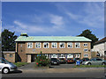
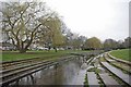
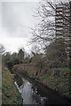
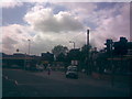
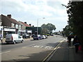
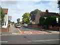
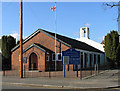
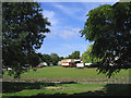
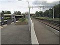
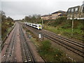
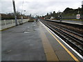
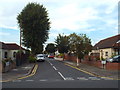
48 photos from this area
Area Information
Key information about the RM12 4LG including its size, population, and administrative classification.
- Area Type
- Postcode
- Area Size
- 1.7 hectares
- Population
- 1355
- Population Density
- 5746 people/km²
House Prices in RM12 4LG
47
Properties
£298,426
Average Sold Price
£115,000
Lowest Price
£800,000
Highest Price
Showing 47 properties
| Address | Type | Beds | Baths | Last Sale Price | Last Sale Date | |
|---|---|---|---|---|---|---|
| 13 Devonshire Road, Hornchurch, RM12 4LG | Semi-detached | 6 | 4 | £800,000 | Jan 2024 | |
| 37 Devonshire Road, Hornchurch, RM12 4LG | Semi-detached | 3 | 2 | £560,000 | Oct 2022 | |
| 47 Devonshire Road, Hornchurch, RM12 4LG | house | - | - | £505,000 | May 2021 | |
| 1 Devonshire Road, Hornchurch, RM12 4LG | house | - | - | £570,000 | Jan 2021 | |
| 61 Devonshire Road, Hornchurch, RM12 4LG | Semi-detached | 3 | 1 | £460,000 | Nov 2020 | |
| 75 Devonshire Road, Hornchurch, RM12 4LG | house | - | - | £375,000 | May 2015 | |
| 91 Devonshire Road, Hornchurch, RM12 4LG | Semi-detached | 2 | - | £311,500 | Apr 2015 | |
| 93 Devonshire Road, Hornchurch, RM12 4LG | Bungalow | 2 | - | £265,000 | Apr 2013 | |
| 31 Devonshire Road, Hornchurch, RM12 4LG | Semi-detached | 4 | - | £380,000 | Apr 2011 | |
| 41 Devonshire Road, Hornchurch, RM12 4LG | house | 3 | - | £313,000 | Jul 2010 |
Page 1 of 5
Energy Efficiency in RM12 4LG
Amenities
Schools
| Rank | School | Type | Entry gender | Ages |
|---|
Explore more schools in this area
Go to Schools tabDemographics
Household Size
Family (3-5 people)
most common
Accommodation Type
Houses
most common
Tenure
89
majority
Ethnic Group
White
most common
Religion
N/A
most common
Household Composition
N/A
most common
Age
47
median
Adults (30-64 years)
most common
Household Deprivation
N/A
with no deprivation
NS-SEC
37
in Lower managerial occupations
Explore more demographic insights in this area
Go to Demographics tabPlanning
Planning Constraints
- Flood RiskPremium
- Ramsar Wetland SitesPremium
- Area of Outstanding Natural BeautyPremium
- Protected Nature ReservePremium
- Protected WoodlandPremium