Area Overview for RM12 6LX
Photos of RM12 6LX
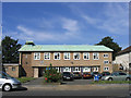
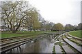
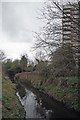
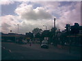
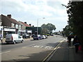
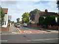
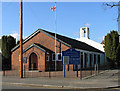
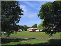
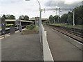
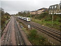
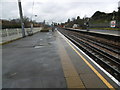
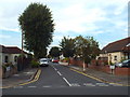
48 photos from this area
Area Information
Key information about the RM12 6LX including its size, population, and administrative classification.
- Area Type
- Postcode
- Area Size
- 1.3 hectares
- Population
- 1355
- Population Density
- 5746 people/km²
House Prices in RM12 6LX
24
Properties
£328,400
Average Sold Price
£58,000
Lowest Price
£700,000
Highest Price
Showing 24 properties
| Address | Type | Beds | Baths | Last Sale Price | Last Sale Date | |
|---|---|---|---|---|---|---|
| 86A Station Lane, Hornchurch, RM12 6LX | Maisonette | - | - | £180,000 | Feb 2024 | |
| 90A Station Lane, Hornchurch, RM12 6LX | Detached | 4 | 2 | £700,000 | Aug 2023 | |
| 102 Station Lane, Hornchurch, RM12 6LX | Detached | 5 | 3 | £660,000 | Sep 2020 | |
| 100 Station Lane, Hornchurch, RM12 6LX | Terraced | 3 | - | £350,000 | Jan 2017 | |
| 90 Station Lane, Hornchurch, RM12 6LX | house | 3 | - | £390,000 | Mar 2015 | |
| 104 Station Lane, Hornchurch, RM12 6LX | Detached | 3 | 1 | £350,000 | Jun 2014 | |
| 98 Station Lane, Hornchurch, RM12 6LX | house | - | - | £233,000 | Nov 2008 | |
| 88 Station Lane, Hornchurch, RM12 6LX | Detached | - | - | £285,000 | Mar 2004 | |
| 106 Station Lane, Hornchurch, RM12 6LX | Semi-detached | - | - | £78,000 | Sep 1995 | |
| 96 Station Lane, Hornchurch, RM12 6LX | Terraced | - | - | £58,000 | Jul 1995 |
Page 1 of 3
Energy Efficiency in RM12 6LX
Amenities
Schools
| Rank | School | Type | Entry gender | Ages |
|---|
Explore more schools in this area
Go to Schools tabDemographics
Household Size
Family (3-5 people)
most common
Accommodation Type
Houses
most common
Tenure
89
majority
Ethnic Group
White
most common
Religion
N/A
most common
Household Composition
N/A
most common
Age
47
median
Adults (30-64 years)
most common
Household Deprivation
N/A
with no deprivation
NS-SEC
37
in Lower managerial occupations
Explore more demographic insights in this area
Go to Demographics tabPlanning
Planning Constraints
- Flood RiskPremium
- Ramsar Wetland SitesPremium
- Area of Outstanding Natural BeautyPremium
- Protected Nature ReservePremium
- Protected WoodlandPremium