Area Overview for RM12 4LN
Photos of RM12 4LN
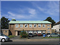
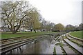
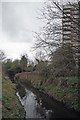
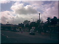
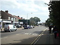
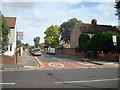
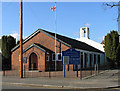
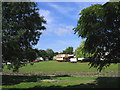
48 photos from this area
Area Information
Key information about the RM12 4LN including its size, population, and administrative classification.
- Area Type
- Postcode
- Area Size
- 5301 m²
- Population
- 1355
- Population Density
- 5746 people/km²
House Prices in RM12 4LN
12
Properties
£371,656
Average Sold Price
£69,000
Lowest Price
£556,000
Highest Price
Showing 12 properties
| Address | Type | Beds | Baths | Last Sale Price | Last Sale Date | |
|---|---|---|---|---|---|---|
| 110 Devonshire Road, Hornchurch, RM12 4LN | Semi-detached | 2 | 1 | £445,000 | Dec 2022 | |
| 116 Devonshire Road, Hornchurch, RM12 4LN | Bungalow | 2 | 1 | £485,000 | Nov 2022 | |
| 118 Devonshire Road, Hornchurch, RM12 4LN | Semi-detached | - | - | £390,000 | Mar 2019 | |
| 99 Devonshire Road, Hornchurch, RM12 4LN | Semi-detached | 4 | 2 | £556,000 | May 2018 | |
| 103 Devonshire Road, Hornchurch, RM12 4LN | Semi-detached | 5 | - | £500,000 | Sep 2016 | |
| 97 Devonshire Road, Hornchurch, RM12 4LN | Semi-detached | - | - | £362,000 | Jul 2007 | |
| 114 Devonshire Road, Hornchurch, RM12 4LN | Semi-detached | - | - | £166,250 | Nov 2001 | |
| 108 Devonshire Road, Hornchurch, RM12 4LN | Semi-detached | - | - | £69,000 | Apr 1996 | |
| 112 Devonshire Road, Hornchurch, RM12 4LN | Bungalow | 2 | 1 | - | - | |
| 101 Devonshire Road, Hornchurch, RM12 4LN | Semi-detached | - | - | - | - |
Page 1 of 2
Energy Efficiency in RM12 4LN
Amenities
Schools
| Rank | School | Type | Entry gender | Ages |
|---|
Explore more schools in this area
Go to Schools tabDemographics
Household Size
Family (3-5 people)
most common
Accommodation Type
Houses
most common
Tenure
89
majority
Ethnic Group
White
most common
Religion
N/A
most common
Household Composition
N/A
most common
Age
47
median
Adults (30-64 years)
most common
Household Deprivation
N/A
with no deprivation
NS-SEC
37
in Lower managerial occupations
Explore more demographic insights in this area
Go to Demographics tabPlanning
Planning Constraints
- Flood RiskPremium
- Ramsar Wetland SitesPremium
- Area of Outstanding Natural BeautyPremium
- Protected Nature ReservePremium
- Protected WoodlandPremium