Area Overview for N9 9BS
Photos of N9 9BS
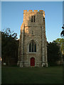
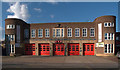
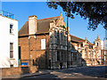
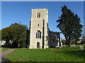
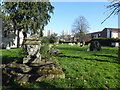
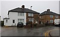
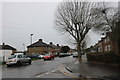
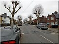
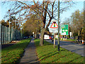
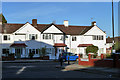
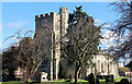
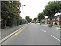
16 photos from this area
Area Information
Key information about the N9 9BS including its size, population, and administrative classification.
- Area Type
- Postcode
- Area Size
- 9726 m²
- Population
- 1560
- Population Density
- 5959 people/km²
House Prices in N9 9BS
33
Properties
£383,263
Average Sold Price
£76,950
Lowest Price
£538,000
Highest Price
Showing 33 properties
| Address | Type | Beds | Baths | Last Sale Price | Last Sale Date | |
|---|---|---|---|---|---|---|
| 84 Westerham Avenue, Edmonton, N9 9BS | Semi-detached | 3 | 1 | £500,000 | Nov 2022 | |
| 80 Westerham Avenue, Edmonton, N9 9BS | Semi-detached | 4 | 3 | £538,000 | Jun 2021 | |
| 40 Westerham Avenue, Edmonton, N9 9BS | house | - | - | £465,000 | Feb 2021 | |
| 54 Westerham Avenue, Edmonton, N9 9BS | house | - | - | £395,000 | Dec 2020 | |
| 82 Westerham Avenue, Edmonton, N9 9BS | Semi-detached | 3 | 1 | £450,000 | Apr 2020 | |
| 64 Westerham Avenue, Edmonton, N9 9BS | Semi-detached | 3 | 1 | £475,000 | Aug 2018 | |
| 34 Westerham Avenue, Edmonton, N9 9BS | Semi-detached | 3 | 1 | £455,000 | Feb 2018 | |
| 62 Westerham Avenue, Edmonton, N9 9BS | Semi-detached | 4 | - | £424,000 | Oct 2017 | |
| 38 Westerham Avenue, Edmonton, N9 9BS | Semi-detached | 3 | 1 | £450,000 | Apr 2017 | |
| 78 Westerham Avenue, Edmonton, N9 9BS | house | - | - | £455,000 | Jan 2017 |
Page 1 of 4
Energy Efficiency in N9 9BS
Amenities
Schools
| Rank | School | Type | Entry gender | Ages |
|---|
Explore more schools in this area
Go to Schools tabDemographics
Household Size
Family (3-5 people)
most common
Accommodation Type
Houses
most common
Tenure
63
majority
Ethnic Group
White
most common
Religion
N/A
most common
Household Composition
N/A
most common
Age
47
median
Adults (30-64 years)
most common
Household Deprivation
N/A
with no deprivation
NS-SEC
23
in Lower managerial occupations
Explore more demographic insights in this area
Go to Demographics tabPlanning
Planning Constraints
- Flood RiskPremium
- Ramsar Wetland SitesPremium
- Area of Outstanding Natural BeautyPremium
- Protected Nature ReservePremium
- Protected WoodlandPremium