Area Overview for N9 9AS
Photos of N9 9AS
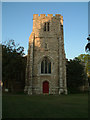
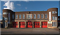
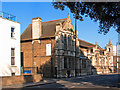
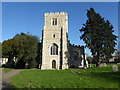
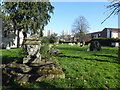
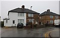
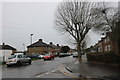
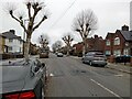
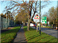
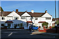
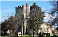
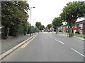
16 photos from this area
Area Information
Key information about the N9 9AS including its size, population, and administrative classification.
- Area Type
- Postcode
- Area Size
- 1.4 hectares
- Population
- 1731
- Population Density
- 9030 people/km²
House Prices in N9 9AS
58
Properties
£210,123
Average Sold Price
£55,000
Lowest Price
£435,000
Highest Price
Showing 58 properties
| Address | Type | Beds | Baths | Last Sale Price | Last Sale Date | |
|---|---|---|---|---|---|---|
| 130 Church Street, Edmonton, N9 9AS | Terraced | 3 | 1 | £435,000 | Oct 2024 | |
| 112 Church Street, Edmonton, N9 9AS | Flat | 1 | 1 | £235,000 | Sep 2018 | |
| 134 Church Street, Edmonton, N9 9AS | Terraced | 3 | - | £275,000 | Sep 2012 | |
| 144 Church Street, Edmonton, N9 9AS | house | - | - | £261,900 | Jul 2010 | |
| 126 Church Street, Edmonton, N9 9AS | house | 1 | 2 | £308,000 | Jul 2009 | |
| 102A Church Street, Edmonton, N9 9AS | Flat | - | - | £170,000 | Oct 2005 | |
| 140 Church Street, Edmonton, N9 9AS | Terraced | 1 | 1 | £309,995 | Dec 2004 | |
| 94 Church Street, Edmonton, N9 9AS | Flat | 2 | 1 | £120,000 | Nov 2003 | |
| 124 Church Street, Edmonton, N9 9AS | house | 3 | - | £214,950 | Oct 2003 | |
| 98 Church Street, Edmonton, N9 9AS | Flat | - | - | £110,000 | Jan 2003 |
Page 1 of 6
Energy Efficiency in N9 9AS
Amenities
Schools
| Rank | School | Type | Entry gender | Ages |
|---|
Explore more schools in this area
Go to Schools tabDemographics
Household Size
Family (3-5 people)
most common
Accommodation Type
Houses
most common
Tenure
43
majority
Ethnic Group
White
most common
Religion
N/A
most common
Household Composition
N/A
most common
Age
47
median
Adults (30-64 years)
most common
Household Deprivation
N/A
with no deprivation
NS-SEC
18
in Lower managerial occupations
Explore more demographic insights in this area
Go to Demographics tabPlanning
Planning Constraints
- Flood RiskPremium
- Ramsar Wetland SitesPremium
- Area of Outstanding Natural BeautyPremium
- Protected Nature ReservePremium
- Protected WoodlandPremium