Area Overview for N9 9RS
Photos of N9 9RS
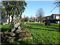
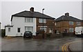
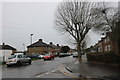
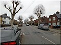
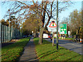
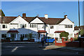
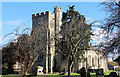
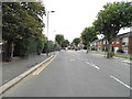
16 photos from this area
Area Information
Key information about the N9 9RS including its size, population, and administrative classification.
- Area Type
- Postcode
- Area Size
- 1.4 hectares
- Population
- 1731
- Population Density
- 9030 people/km²
House Prices in N9 9RS
38
Properties
£249,482
Average Sold Price
£89,250
Lowest Price
£470,000
Highest Price
Showing 38 properties
| Address | Type | Beds | Baths | Last Sale Price | Last Sale Date | |
|---|---|---|---|---|---|---|
| 3 Hydethorpe Avenue, Edmonton, N9 9RS | Terraced | 4 | 1 | £470,000 | Jun 2024 | |
| 9 Hydethorpe Avenue, Edmonton, N9 9RS | Retail | 3 | - | £440,000 | Jun 2022 | |
| 5 Hydethorpe Avenue, Edmonton, N9 9RS | Terraced | 3 | 1 | £382,000 | Mar 2020 | |
| 31 Hydethorpe Avenue, Edmonton, N9 9RS | Terraced | 3 | 1 | £427,000 | Jan 2017 | |
| 21 Hydethorpe Avenue, Edmonton, N9 9RS | house | 3 | 3 | £304,000 | Dec 2014 | |
| 13 Hydethorpe Avenue, Edmonton, N9 9RS | Terraced | 3 | 1 | £300,000 | Jul 2011 | |
| 35 Hydethorpe Avenue, Edmonton, N9 9RS | house | - | - | £217,000 | Aug 2009 | |
| 37 Hydethorpe Avenue, Edmonton, N9 9RS | Terraced | 1 | 1 | £245,000 | May 2005 | |
| 19 Hydethorpe Avenue, Edmonton, N9 9RS | Terraced | - | - | £155,000 | May 2002 | |
| 23 Hydethorpe Avenue, Edmonton, N9 9RS | Terraced | 1 | 2 | £140,000 | Dec 2001 |
Page 1 of 4
Energy Efficiency in N9 9RS
Amenities
Schools
| Rank | School | Type | Entry gender | Ages |
|---|
Explore more schools in this area
Go to Schools tabDemographics
Household Size
Family (3-5 people)
most common
Accommodation Type
Houses
most common
Tenure
43
majority
Ethnic Group
White
most common
Religion
N/A
most common
Household Composition
N/A
most common
Age
47
median
Adults (30-64 years)
most common
Household Deprivation
N/A
with no deprivation
NS-SEC
18
in Lower managerial occupations
Explore more demographic insights in this area
Go to Demographics tabPlanning
Planning Constraints
- Flood RiskPremium
- Ramsar Wetland SitesPremium
- Area of Outstanding Natural BeautyPremium
- Protected Nature ReservePremium
- Protected WoodlandPremium