Area Overview for N9 9AR
Photos of N9 9AR
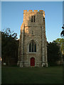
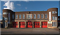
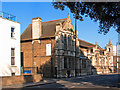
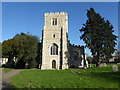
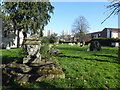
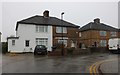
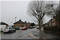
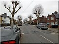
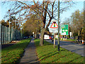
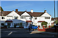
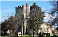
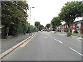
16 photos from this area
Area Information
Key information about the N9 9AR including its size, population, and administrative classification.
- Area Type
- Postcode
- Area Size
- 5434 m²
- Population
- 1576
- Population Density
- 5448 people/km²
House Prices in N9 9AR
45
Properties
£175,750
Average Sold Price
£41,500
Lowest Price
£360,000
Highest Price
Showing 45 properties
| Address | Type | Beds | Baths | Last Sale Price | Last Sale Date | |
|---|---|---|---|---|---|---|
| 182 Church Street, Edmonton, N9 9AR | Maisonette | - | - | £265,000 | Oct 2019 | |
| 162 Church Street, Edmonton, N9 9AR | Flat | - | - | £270,000 | Sep 2019 | |
| 188 Church Street, Edmonton, N9 9AR | Flat | - | - | £250,000 | Nov 2017 | |
| 202 Church Street, Edmonton, N9 9AR | Terraced | 3 | 1 | £360,000 | Feb 2017 | |
| 168 Church Street, Edmonton, N9 9AR | Maisonette | 2 | 1 | £166,000 | Mar 2015 | |
| 198 Church Street, Edmonton, N9 9AR | Flat | - | - | £123,500 | Apr 2012 | |
| 186 Church Street, Edmonton, N9 9AR | Flat | - | - | £140,000 | Feb 2012 | |
| 204 CHURCH STREET, Edmonton, N9 9AR | Terraced | 1 | 2 | £220,000 | Aug 2008 | |
| 164 Church Street, Edmonton, N9 9AR | Maisonette | 3 | 1 | £184,000 | Mar 2008 | |
| 184 Church Street, Edmonton, N9 9AR | Flat | - | - | £150,000 | May 2007 |
Page 1 of 5
Energy Efficiency in N9 9AR
Amenities
Schools
| Rank | School | Type | Entry gender | Ages |
|---|
Explore more schools in this area
Go to Schools tabDemographics
Household Size
One person
most common
Accommodation Type
Flats
most common
Tenure
30
majority
Ethnic Group
White
most common
Religion
N/A
most common
Household Composition
N/A
most common
Age
47
median
Adults (30-64 years)
most common
Household Deprivation
N/A
with no deprivation
NS-SEC
15
in Lower managerial occupations
Explore more demographic insights in this area
Go to Demographics tabPlanning
Planning Constraints
- Flood RiskPremium
- Ramsar Wetland SitesPremium
- Area of Outstanding Natural BeautyPremium
- Protected Nature ReservePremium
- Protected WoodlandPremium