Area Overview for KT4 8HU
Photos of KT4 8HU
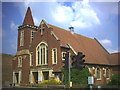
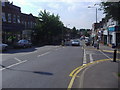
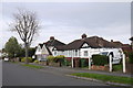
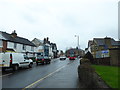
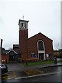
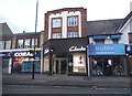
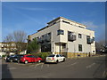
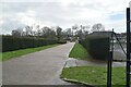
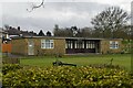
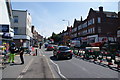
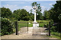
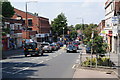
34 photos from this area
Area Information
Key information about the KT4 8HU including its size, population, and administrative classification.
- Area Type
- Postcode
- Area Size
- 2889 m²
- Population
- 1695
- Population Density
- 7155 people/km²
House Prices in KT4 8HU
13
Properties
£255,938
Average Sold Price
£67,500
Lowest Price
£600,000
Highest Price
Showing 13 properties
| Address | Type | Beds | Baths | Last Sale Price | Last Sale Date | |
|---|---|---|---|---|---|---|
| 98A Central Road, Worcester Park, KT4 8HU | Maisonette | - | - | £600,000 | Jul 2020 | |
| 102A Central Road, Worcester Park, KT4 8HU | Maisonette | 3 | - | £350,000 | Jul 2017 | |
| 96A Central Road, Worcester Park, KT4 8HU | Flat | - | - | £276,000 | Apr 2017 | |
| 108A Central Road, Worcester Park, KT4 8HU | Flat | - | - | £250,000 | Jan 2014 | |
| 110A Central Road, Worcester Park, KT4 8HU | Maisonette | - | - | £224,000 | Jun 2004 | |
| 94A Central Road, Worcester Park, KT4 8HU | Flat | - | - | £185,000 | Aug 2003 | |
| 100B Central Road, Worcester Park, KT4 8HU | Flat | - | - | £95,000 | Jun 2001 | |
| 90A Central Road, Worcester Park, KT4 8HU | Flat | - | - | £67,500 | Sep 1997 | |
| 100A Central Road, Worcester Park, KT4 8HU | Flat | 1 | 1 | - | - | |
| 104A Central Road, Worcester Park, KT4 8HU | Flat | - | - | - | - |
Page 1 of 2
Energy Efficiency in KT4 8HU
Amenities
Schools
| Rank | School | Type | Entry gender | Ages |
|---|
Explore more schools in this area
Go to Schools tabDemographics
Household Size
Family (3-5 people)
most common
Accommodation Type
Houses
most common
Tenure
63
majority
Ethnic Group
White
most common
Religion
N/A
most common
Household Composition
N/A
most common
Age
47
median
Adults (30-64 years)
most common
Household Deprivation
N/A
with no deprivation
NS-SEC
39
in Lower managerial occupations
Explore more demographic insights in this area
Go to Demographics tabPlanning
Planning Constraints
- Flood RiskPremium
- Ramsar Wetland SitesPremium
- Area of Outstanding Natural BeautyPremium
- Protected Nature ReservePremium
- Protected WoodlandPremium