Area Overview for KT4 8BQ
Photos of KT4 8BQ
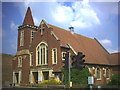
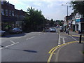
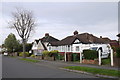
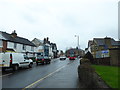
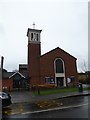
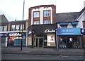
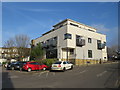
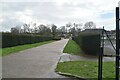
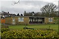
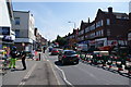
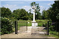
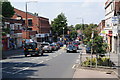
34 photos from this area
Area Information
Key information about the KT4 8BQ including its size, population, and administrative classification.
- Area Type
- Postcode
- Area Size
- 1.5 hectares
- Population
- 1695
- Population Density
- 7155 people/km²
House Prices in KT4 8BQ
50
Properties
£368,777
Average Sold Price
£116,000
Lowest Price
£695,000
Highest Price
Showing 50 properties
| Address | Type | Beds | Baths | Last Sale Price | Last Sale Date | |
|---|---|---|---|---|---|---|
| 13 Caldbeck Avenue, Worcester Park, KT4 8BQ | Terraced | 3 | 1 | £605,000 | Mar 2025 | |
| 47 Caldbeck Avenue, Worcester Park, KT4 8BQ | Terraced | 3 | 2 | £650,000 | Jun 2024 | |
| The Flat, 1 Caldbeck Avenue, Worcester Park, KT4 8BQ | Flat | - | - | £425,000 | Sep 2022 | |
| 15 Caldbeck Avenue, Worcester Park, KT4 8BQ | house | - | - | £525,000 | Apr 2022 | |
| 22 Caldbeck Avenue, Worcester Park, KT4 8BQ | Terraced | 3 | 1 | £597,500 | Mar 2022 | |
| 40 Caldbeck Avenue, Worcester Park, KT4 8BQ | Terraced | 3 | 1 | £668,000 | Jun 2021 | |
| 10 Caldbeck Avenue, Worcester Park, KT4 8BQ | house | 3 | 1 | £695,000 | Feb 2021 | |
| 38 Caldbeck Avenue, Worcester Park, KT4 8BQ | Terraced | 3 | 1 | £510,000 | Jan 2020 | |
| 7 Caldbeck Avenue, Worcester Park, KT4 8BQ | Terraced | 3 | - | £625,000 | May 2019 | |
| 20 Caldbeck Avenue, Worcester Park, KT4 8BQ | Terraced | 3 | 1 | £501,000 | Sep 2018 |
Page 1 of 5
Energy Efficiency in KT4 8BQ
Amenities
Schools
| Rank | School | Type | Entry gender | Ages |
|---|
Explore more schools in this area
Go to Schools tabDemographics
Household Size
Family (3-5 people)
most common
Accommodation Type
Houses
most common
Tenure
63
majority
Ethnic Group
White
most common
Religion
N/A
most common
Household Composition
N/A
most common
Age
47
median
Adults (30-64 years)
most common
Household Deprivation
N/A
with no deprivation
NS-SEC
39
in Lower managerial occupations
Explore more demographic insights in this area
Go to Demographics tabPlanning
Planning Constraints
- Flood RiskPremium
- Ramsar Wetland SitesPremium
- Area of Outstanding Natural BeautyPremium
- Protected Nature ReservePremium
- Protected WoodlandPremium