Area Overview for KT4 8BB
Photos of KT4 8BB
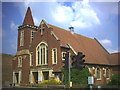
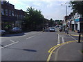
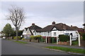
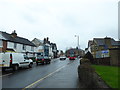
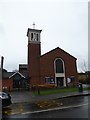
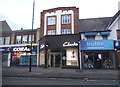
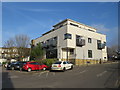
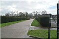
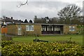
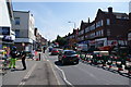
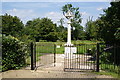
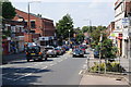
34 photos from this area
Area Information
Key information about the KT4 8BB including its size, population, and administrative classification.
- Area Type
- Postcode
- Area Size
- 7837 m²
- Population
- 1695
- Population Density
- 7155 people/km²
House Prices in KT4 8BB
33
Properties
£252,148
Average Sold Price
£68,000
Lowest Price
£460,000
Highest Price
Showing 33 properties
| Address | Type | Beds | Baths | Last Sale Price | Last Sale Date | |
|---|---|---|---|---|---|---|
| 4 Longfellow Road, Worcester Park, KT4 8BB | Terraced | 2 | 1 | £460,000 | Feb 2023 | |
| 22 Longfellow Road, Worcester Park, KT4 8BB | Terraced | 2 | 2 | £435,000 | Jun 2021 | |
| 35 Longfellow Road, Worcester Park, KT4 8BB | Detached | 4 | 2 | £391,000 | Apr 2021 | |
| 30 Longfellow Road, Worcester Park, KT4 8BB | Terraced | 2 | 2 | £400,000 | Dec 2018 | |
| 9 Longfellow Road, Worcester Park, KT4 8BB | Terraced | 2 | 1 | £412,000 | Jul 2017 | |
| 32 Longfellow Road, Worcester Park, KT4 8BB | Terraced | 2 | 2 | £440,000 | Aug 2016 | |
| 5 Longfellow Road, Worcester Park, KT4 8BB | Detached | 2 | 1 | £377,500 | May 2016 | |
| 16 Longfellow Road, Worcester Park, KT4 8BB | Terraced | 2 | 1 | £225,000 | Nov 2013 | |
| 26 Longfellow Road, Worcester Park, KT4 8BB | Terraced | 2 | - | £294,000 | Jun 2013 | |
| 12 Longfellow Road, Worcester Park, KT4 8BB | Terraced | 2 | - | £250,000 | Feb 2013 |
Page 1 of 4
Energy Efficiency in KT4 8BB
Amenities
Schools
| Rank | School | Type | Entry gender | Ages |
|---|
Explore more schools in this area
Go to Schools tabDemographics
Household Size
Family (3-5 people)
most common
Accommodation Type
Houses
most common
Tenure
63
majority
Ethnic Group
White
most common
Religion
N/A
most common
Household Composition
N/A
most common
Age
47
median
Adults (30-64 years)
most common
Household Deprivation
N/A
with no deprivation
NS-SEC
39
in Lower managerial occupations
Explore more demographic insights in this area
Go to Demographics tabPlanning
Planning Constraints
- Flood RiskPremium
- Ramsar Wetland SitesPremium
- Area of Outstanding Natural BeautyPremium
- Protected Nature ReservePremium
- Protected WoodlandPremium