Area Overview for HA4 6EJ
Photos of HA4 6EJ
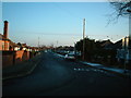
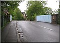
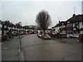
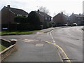
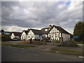
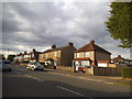
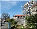
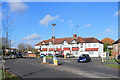
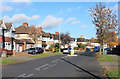
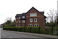
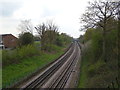
39 photos from this area
Area Information
Key information about the HA4 6EJ including its size, population, and administrative classification.
- Area Type
- Postcode
- Area Size
- 2960 m²
- Population
- 1604
- Population Density
- 4345 people/km²
House Prices in HA4 6EJ
8
Properties
£528,500
Average Sold Price
£220,000
Lowest Price
£890,000
Highest Price
Showing 8 properties
| Address | Type | Beds | Baths | Last Sale Price | Last Sale Date | |
|---|---|---|---|---|---|---|
| 52 Beechwood Avenue, Ruislip, HA4 6EJ | Semi-detached | 5 | 2 | £890,000 | Jun 2023 | |
| 48 Beechwood Avenue, Ruislip, HA4 6EJ | house | 4 | - | £781,000 | Jun 2021 | |
| 58 Beechwood Avenue, Ruislip, HA4 6EJ | Detached | 3 | 1 | £625,000 | May 2019 | |
| 54 Beechwood Avenue, Ruislip, HA4 6EJ | Semi-detached | - | - | £360,000 | Jun 2006 | |
| 46 Beechwood Avenue, Ruislip, HA4 6EJ | Semi-detached | 5 | 3 | £220,000 | Feb 2004 | |
| 56 Beechwood Avenue, Ruislip, HA4 6EJ | Semi-detached | - | - | £295,000 | Sep 2002 | |
| 44 Beechwood Avenue, Ruislip, HA4 6EJ | Semi-detached | 3 | 1 | - | - | |
| 50 Beechwood Avenue, Ruislip, HA4 6EJ | Semi-detached | - | - | - | - |
Energy Efficiency in HA4 6EJ
Amenities
Schools
| Rank | School | Type | Entry gender | Ages |
|---|
Explore more schools in this area
Go to Schools tabDemographics
Household Size
Family (3-5 people)
most common
Accommodation Type
Houses
most common
Tenure
88
majority
Ethnic Group
White
most common
Religion
N/A
most common
Household Composition
N/A
most common
Age
47
median
Adults (30-64 years)
most common
Household Deprivation
N/A
with no deprivation
NS-SEC
42
in Lower managerial occupations
Explore more demographic insights in this area
Go to Demographics tabPlanning
Planning Constraints
- Flood RiskPremium
- Ramsar Wetland SitesPremium
- Area of Outstanding Natural BeautyPremium
- Protected Nature ReservePremium
- Protected WoodlandPremium