Area Overview for HA2 0AP
Photos of HA2 0AP
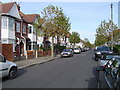
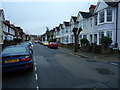
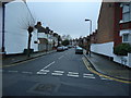
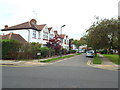
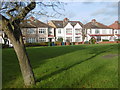
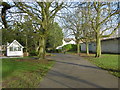
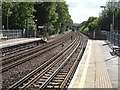
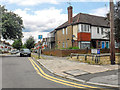
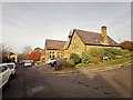
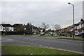
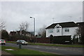
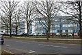
61 photos from this area
Area Information
Key information about the HA2 0AP including its size, population, and administrative classification.
- Area Type
- Postcode
- Area Size
- 9778 m²
- Population
- 2031
- Population Density
- 5473 people/km²
House Prices in HA2 0AP
13
Properties
£384,688
Average Sold Price
£82,500
Lowest Price
£660,000
Highest Price
Showing 13 properties
| Address | Type | Beds | Baths | Last Sale Price | Last Sale Date | |
|---|---|---|---|---|---|---|
| 3 Porlock Avenue, West Harrow, HA2 0AP | Terraced | 3 | 1 | £660,000 | Mar 2021 | |
| 17 Porlock Avenue, West Harrow, HA2 0AP | Terraced | 3 | 1 | £505,000 | Mar 2017 | |
| Bramber, Porlock Avenue, West Harrow, HA2 0AP | Detached | 3 | 1 | £525,000 | Oct 2014 | |
| 13 Porlock Avenue, West Harrow, HA2 0AP | house | 3 | - | £355,000 | Dec 2011 | |
| 11 Porlock Avenue, West Harrow, HA2 0AP | house | - | - | £295,000 | Jun 2004 | |
| 7 Porlock Avenue, West Harrow, HA2 0AP | Flat | 1 | 1 | £325,000 | Nov 2003 | |
| 5 Porlock Avenue, West Harrow, HA2 0AP | Semi-detached | - | - | £330,000 | Sep 2003 | |
| 19 Porlock Avenue, West Harrow, HA2 0AP | Flat | - | - | £82,500 | Apr 1995 | |
| 1 Porlock Avenue, West Harrow, HA2 0AP | Detached | 4 | 2 | - | - | |
| 17C Porlock Avenue, West Harrow, HA2 0AP | Flat | 1 | 1 | - | - |
Page 1 of 2
Energy Efficiency in HA2 0AP
Amenities
Schools
| Rank | School | Type | Entry gender | Ages |
|---|
Explore more schools in this area
Go to Schools tabDemographics
Household Size
Family (3-5 people)
most common
Accommodation Type
Houses
most common
Tenure
58
majority
Ethnic Group
White
most common
Religion
N/A
most common
Household Composition
N/A
most common
Age
47
median
Adults (30-64 years)
most common
Household Deprivation
N/A
with no deprivation
NS-SEC
36
in Lower managerial occupations
Explore more demographic insights in this area
Go to Demographics tabPlanning
Planning Constraints
- Flood RiskPremium
- Ramsar Wetland SitesPremium
- Area of Outstanding Natural BeautyPremium
- Protected Nature ReservePremium
- Protected WoodlandPremium