Area Overview for HA2 0AG
Photos of HA2 0AG
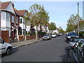
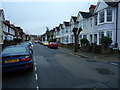
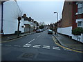
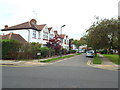
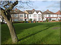
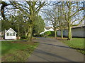
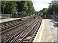
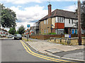
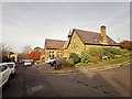
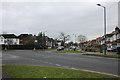
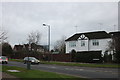
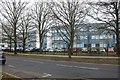
61 photos from this area
Area Information
Key information about the HA2 0AG including its size, population, and administrative classification.
- Area Type
- Postcode
- Area Size
- 3821 m²
- Population
- 2031
- Population Density
- 5473 people/km²
House Prices in HA2 0AG
17
Properties
£194,557
Average Sold Price
£75,000
Lowest Price
£300,000
Highest Price
Showing 17 properties
| Address | Type | Beds | Baths | Last Sale Price | Last Sale Date | |
|---|---|---|---|---|---|---|
| 26 Shaftesbury Circle, South Harrow, HA2 0AG | Flat | - | - | £245,000 | Mar 2024 | |
| 25 Shaftesbury Circle, South Harrow, HA2 0AG | Flat | 2 | 1 | £285,000 | Apr 2023 | |
| 14 Shaftesbury Circle, South Harrow, HA2 0AG | Flat | - | - | £300,000 | Aug 2017 | |
| 21 Shaftesbury Circle, South Harrow, HA2 0AG | Flat | - | - | £209,950 | Dec 2006 | |
| 27 Shaftesbury Circle, South Harrow, HA2 0AG | Flat | 2 | 1 | £152,000 | Jul 2005 | |
| 12 Shaftesbury Circle, South Harrow, HA2 0AG | Maisonette | 2 | 1 | £94,950 | Aug 2000 | |
| 24 Shaftesbury Circle, South Harrow, HA2 0AG | Flat | - | - | £75,000 | Oct 1999 | |
| 16 Shaftesbury Circle, South Harrow, HA2 0AG | Flat | 2 | 1 | - | - | |
| 20 Shaftesbury Circle, South Harrow, HA2 0AG | Flat | 2 | 1 | - | - | |
| 11 Shaftesbury Circle, South Harrow, HA2 0AG | Flat | - | - | - | - |
Page 1 of 2
Energy Efficiency in HA2 0AG
Amenities
Schools
| Rank | School | Type | Entry gender | Ages |
|---|
Explore more schools in this area
Go to Schools tabDemographics
Household Size
Family (3-5 people)
most common
Accommodation Type
Houses
most common
Tenure
58
majority
Ethnic Group
White
most common
Religion
N/A
most common
Household Composition
N/A
most common
Age
47
median
Adults (30-64 years)
most common
Household Deprivation
N/A
with no deprivation
NS-SEC
36
in Lower managerial occupations
Explore more demographic insights in this area
Go to Demographics tabPlanning
Planning Constraints
- Flood RiskPremium
- Ramsar Wetland SitesPremium
- Area of Outstanding Natural BeautyPremium
- Protected Nature ReservePremium
- Protected WoodlandPremium