Area Overview for EN5 2DN
Photos of EN5 2DN
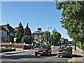
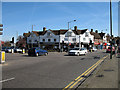
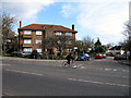
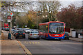
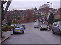
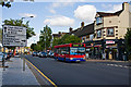
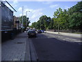
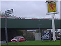
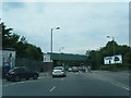
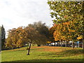
97 photos from this area
Area Information
Key information about the EN5 2DN including its size, population, and administrative classification.
- Area Type
- Postcode
- Area Size
- 21.9 hectares
- Population
- 1365
- Population Density
- 271 people/km²
House Prices in EN5 2DN
22
Properties
£302,758
Average Sold Price
£100,500
Lowest Price
£600,000
Highest Price
Showing 22 properties
| Address | Type | Beds | Baths | Last Sale Price | Last Sale Date | |
|---|---|---|---|---|---|---|
| 10 Barnet Lane, Underhill, Barnet, EN5 2DN | Retail | 3 | 1 | £600,000 | Nov 2022 | |
| 18 Barnet Lane, Underhill, Barnet, EN5 2DN | Terraced | 3 | 1 | £515,000 | Dec 2019 | |
| 16 Barnet Lane, Underhill, Barnet, EN5 2DN | Terraced | 4 | 2 | £560,000 | Dec 2019 | |
| 40 Barnet Lane, Underhill, Barnet, EN5 2DN | Semi-detached | 3 | 1 | £440,000 | Jan 2016 | |
| 24 Barnet Lane, Underhill, Barnet, EN5 2DN | house | 4 | - | £350,000 | Sep 2010 | |
| 4 Barnet Lane, Underhill, Barnet, EN5 2DN | Semi-detached | 3 | 1 | £330,000 | Oct 2007 | |
| 32 Barnet Lane, Underhill, Barnet, EN5 2DN | Terraced | 3 | 1 | £270,000 | Nov 2006 | |
| 30 Barnet Lane, Underhill, Barnet, EN5 2DN | house | - | - | £249,155 | Jan 2006 | |
| 8 Barnet Lane, Underhill, Barnet, EN5 2DN | Terraced | 3 | 1 | £235,000 | Nov 2005 | |
| 14 Barnet Lane, Underhill, Barnet, EN5 2DN | Terraced | 3 | 1 | £207,500 | Sep 2002 |
Page 1 of 3
Energy Efficiency in EN5 2DN
Amenities
Schools
| Rank | School | Type | Entry gender | Ages |
|---|
Explore more schools in this area
Go to Schools tabDemographics
Household Size
Family (3-5 people)
most common
Accommodation Type
Houses
most common
Tenure
86
majority
Ethnic Group
White
most common
Religion
N/A
most common
Household Composition
N/A
most common
Age
47
median
Adults (30-64 years)
most common
Household Deprivation
N/A
with no deprivation
NS-SEC
50
in Lower managerial occupations
Explore more demographic insights in this area
Go to Demographics tabPlanning
Planning Constraints
- Flood RiskPremium
- Ramsar Wetland SitesPremium
- Area of Outstanding Natural BeautyPremium
- Protected Nature ReservePremium
- Protected WoodlandPremium