Area Overview for EN5 2BZ
Photos of EN5 2BZ
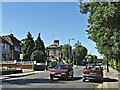
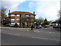
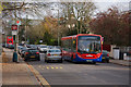
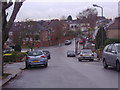
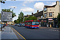
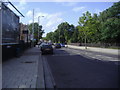
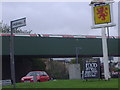
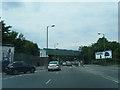
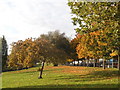
97 photos from this area
Area Information
Key information about the EN5 2BZ including its size, population, and administrative classification.
- Area Type
- Postcode
- Area Size
- 1.4 hectares
- Population
- 1548
- Population Density
- 4588 people/km²
House Prices in EN5 2BZ
27
Properties
£413,647
Average Sold Price
£88,000
Lowest Price
£660,000
Highest Price
Showing 27 properties
| Address | Type | Beds | Baths | Last Sale Price | Last Sale Date | |
|---|---|---|---|---|---|---|
| 7 Grasvenor Avenue, Barnet, EN5 2BZ | Terraced | 3 | 1 | £660,000 | Aug 2023 | |
| 5 Grasvenor Avenue, Barnet, EN5 2BZ | Retail | 3 | 2 | £615,000 | Jul 2022 | |
| 30 Grasvenor Avenue, Barnet, EN5 2BZ | Semi-detached | 4 | 2 | £615,000 | Mar 2019 | |
| 8 Grasvenor Avenue, Barnet, EN5 2BZ | Semi-detached | 3 | 1 | £545,000 | Aug 2018 | |
| 19 Grasvenor Avenue, Barnet, EN5 2BZ | Semi-detached | 3 | 1 | £525,000 | Aug 2017 | |
| 17 Grasvenor Avenue, Barnet, EN5 2BZ | house | - | - | £564,000 | Oct 2016 | |
| 21 Grasvenor Avenue, Barnet, EN5 2BZ | Terraced | 3 | - | £537,500 | Sep 2016 | |
| 26 Grasvenor Avenue, Barnet, EN5 2BZ | Semi-detached | 3 | - | £480,000 | Apr 2015 | |
| 24 Grasvenor Avenue, Barnet, EN5 2BZ | Semi-detached | 3 | - | £407,000 | Oct 2013 | |
| 22 Grasvenor Avenue, Barnet, EN5 2BZ | Semi-detached | 3 | 1 | £352,500 | Oct 2012 |
Page 1 of 3
Energy Efficiency in EN5 2BZ
Amenities
Schools
| Rank | School | Type | Entry gender | Ages |
|---|
Explore more schools in this area
Go to Schools tabDemographics
Household Size
Family (3-5 people)
most common
Accommodation Type
Houses
most common
Tenure
75
majority
Ethnic Group
White
most common
Religion
N/A
most common
Household Composition
N/A
most common
Age
47
median
Adults (30-64 years)
most common
Household Deprivation
N/A
with no deprivation
NS-SEC
43
in Lower managerial occupations
Explore more demographic insights in this area
Go to Demographics tabPlanning
Planning Constraints
- Flood RiskPremium
- Ramsar Wetland SitesPremium
- Area of Outstanding Natural BeautyPremium
- Protected Nature ReservePremium
- Protected WoodlandPremium