Area Overview for EN5 2BG
Photos of EN5 2BG
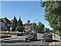
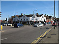
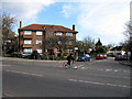
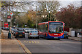
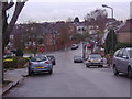
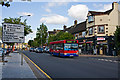
97 photos from this area
Area Information
Key information about the EN5 2BG including its size, population, and administrative classification.
- Area Type
- Postcode
- Area Size
- 1.6 hectares
- Population
- 1548
- Population Density
- 4588 people/km²
House Prices in EN5 2BG
27
Properties
£426,397
Average Sold Price
£98,000
Lowest Price
£730,000
Highest Price
Showing 27 properties
| Address | Type | Beds | Baths | Last Sale Price | Last Sale Date | |
|---|---|---|---|---|---|---|
| 4 Fairfield Way, Barnet, EN5 2BG | Semi-detached | 3 | 1 | £730,000 | Mar 2025 | |
| 24 Fairfield Way, Barnet, EN5 2BG | Semi-detached | 3 | 1 | £575,000 | May 2024 | |
| 12 Fairfield Way, Barnet, EN5 2BG | Semi-detached | 3 | 2 | £615,000 | Jan 2024 | |
| 20 Fairfield Way, Barnet, EN5 2BG | house | - | - | £525,000 | Feb 2020 | |
| 28 Fairfield Way, Barnet, EN5 2BG | Semi-detached | 3 | 1 | £558,000 | Jun 2017 | |
| 30 Fairfield Way, Barnet, EN5 2BG | Semi-detached | 3 | 1 | £605,000 | Oct 2016 | |
| 34 Fairfield Way, Barnet, EN5 2BG | Semi-detached | 3 | 1 | £565,000 | Sep 2016 | |
| 8 Fairfield Way, Barnet, EN5 2BG | Semi-detached | 3 | - | £486,000 | Aug 2014 | |
| 18 Fairfield Way, Barnet, EN5 2BG | house | 3 | - | £355,000 | Dec 2011 | |
| 48 Fairfield Way, Barnet, EN5 2BG | house | 3 | - | £345,000 | Sep 2011 |
Page 1 of 3
Energy Efficiency in EN5 2BG
Amenities
Schools
| Rank | School | Type | Entry gender | Ages |
|---|
Explore more schools in this area
Go to Schools tabDemographics
Household Size
Family (3-5 people)
most common
Accommodation Type
Houses
most common
Tenure
75
majority
Ethnic Group
White
most common
Religion
N/A
most common
Household Composition
N/A
most common
Age
47
median
Adults (30-64 years)
most common
Household Deprivation
N/A
with no deprivation
NS-SEC
43
in Lower managerial occupations
Explore more demographic insights in this area
Go to Demographics tabPlanning
Planning Constraints
- Flood RiskPremium
- Ramsar Wetland SitesPremium
- Area of Outstanding Natural BeautyPremium
- Protected Nature ReservePremium
- Protected WoodlandPremium