Area Overview for EN1 2RJ
Photos of EN1 2RJ
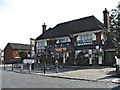
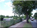
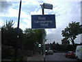
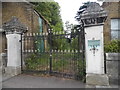
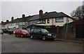
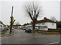
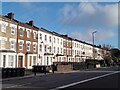
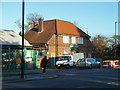

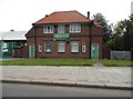
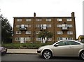
23 photos from this area
Area Information
Key information about the EN1 2RJ including its size, population, and administrative classification.
- Area Type
- Postcode
- Area Size
- 4456 m²
- Population
- 1482
- Population Density
- 6106 people/km²
House Prices in EN1 2RJ
12
Properties
£476,050
Average Sold Price
£176,500
Lowest Price
£755,000
Highest Price
Showing 12 properties
| Address | Type | Beds | Baths | Last Sale Price | Last Sale Date | |
|---|---|---|---|---|---|---|
| 198 Wellington Road, Enfield, EN1 2RJ | Terraced | 4 | 2 | £755,000 | May 2024 | |
| 194 Wellington Road, Enfield, EN1 2RJ | Semi-detached | 4 | 2 | £735,000 | Aug 2023 | |
| 204 Wellington Road, Enfield, EN1 2RJ | Retail | 4 | 2 | £695,000 | Aug 2022 | |
| 163 Wellington Road, Enfield, EN1 2RJ | Semi-detached | 3 | - | £480,000 | Apr 2014 | |
| 202 Wellington Road, Enfield, EN1 2RJ | Semi-detached | 3 | - | £445,000 | Mar 2014 | |
| 196 Wellington Road, Enfield, EN1 2RJ | Terraced | 3 | - | £340,000 | Feb 2013 | |
| 210 Wellington Road, Enfield, EN1 2RJ | house | 4 | - | £408,000 | Apr 2011 | |
| 212 Wellington Road, Enfield, EN1 2RJ | Terraced | - | - | £249,950 | Jan 2001 | |
| 200 Wellington Road, Enfield, EN1 2RJ | Terraced | - | - | £176,500 | Dec 1999 | |
| 161 Wellington Road, Enfield, EN1 2RJ | Semi-detached | 1 | 1 | - | - |
Page 1 of 2
Energy Efficiency in EN1 2RJ
Amenities
Schools
| Rank | School | Type | Entry gender | Ages |
|---|
Explore more schools in this area
Go to Schools tabDemographics
Household Size
Family (3-5 people)
most common
Accommodation Type
Houses
most common
Tenure
83
majority
Ethnic Group
White
most common
Religion
N/A
most common
Household Composition
N/A
most common
Age
47
median
Adults (30-64 years)
most common
Household Deprivation
N/A
with no deprivation
NS-SEC
36
in Lower managerial occupations
Explore more demographic insights in this area
Go to Demographics tabPlanning
Planning Constraints
- Flood RiskPremium
- Ramsar Wetland SitesPremium
- Area of Outstanding Natural BeautyPremium
- Protected Nature ReservePremium
- Protected WoodlandPremium