Area Overview for EN1 2NG
Photos of EN1 2NG
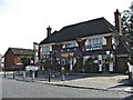
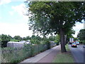
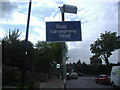
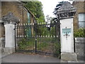
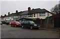
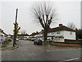
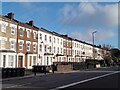
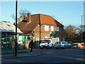

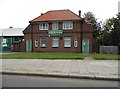
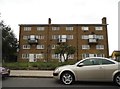
23 photos from this area
Area Information
Key information about the EN1 2NG including its size, population, and administrative classification.
- Area Type
- Postcode
- Area Size
- 1.2 hectares
- Population
- 1482
- Population Density
- 6106 people/km²
House Prices in EN1 2NG
32
Properties
£352,068
Average Sold Price
£103,000
Lowest Price
£742,500
Highest Price
Showing 32 properties
| Address | Type | Beds | Baths | Last Sale Price | Last Sale Date | |
|---|---|---|---|---|---|---|
| 30 Crawley Road, Enfield, EN1 2NG | Semi-detached | 3 | - | £535,000 | Oct 2025 | |
| 42 Crawley Road, Enfield, EN1 2NG | Semi-detached | 4 | 2 | £742,500 | Aug 2025 | |
| 44 Crawley Road, Enfield, EN1 2NG | Semi-detached | 4 | 2 | £650,000 | Jan 2024 | |
| 26 Crawley Road, Enfield, EN1 2NG | Retail | 3 | 1 | £585,000 | Jun 2022 | |
| 29 Crawley Road, Enfield, EN1 2NG | house | - | - | £527,000 | Sep 2021 | |
| 37A Crawley Road, Enfield, EN1 2NG | Flat | 3 | 1 | £323,000 | Oct 2018 | |
| 18 Crawley Road, Enfield, EN1 2NG | Semi-detached | 3 | 1 | £480,000 | Nov 2014 | |
| 39 Crawley Road, Enfield, EN1 2NG | Semi-detached | 3 | 1 | £440,000 | Feb 2014 | |
| 27 Crawley Road, Enfield, EN1 2NG | Semi-detached | 3 | 1 | £365,000 | Jul 2013 | |
| 40 Crawley Road, Enfield, EN1 2NG | house | - | - | £295,000 | Jan 2012 |
Page 1 of 4
Energy Efficiency in EN1 2NG
Amenities
Schools
| Rank | School | Type | Entry gender | Ages |
|---|
Explore more schools in this area
Go to Schools tabDemographics
Household Size
Family (3-5 people)
most common
Accommodation Type
Houses
most common
Tenure
83
majority
Ethnic Group
White
most common
Religion
N/A
most common
Household Composition
N/A
most common
Age
47
median
Adults (30-64 years)
most common
Household Deprivation
N/A
with no deprivation
NS-SEC
36
in Lower managerial occupations
Explore more demographic insights in this area
Go to Demographics tabPlanning
Planning Constraints
- Flood RiskPremium
- Ramsar Wetland SitesPremium
- Area of Outstanding Natural BeautyPremium
- Protected Nature ReservePremium
- Protected WoodlandPremium