Area Overview for E11 3HZ
Photos of E11 3HZ
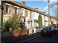
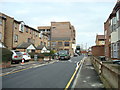
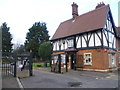

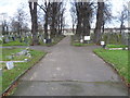
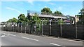
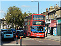
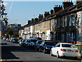
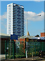
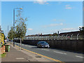
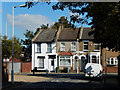
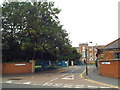
41 photos from this area
Area Information
Key information about the E11 3HZ including its size, population, and administrative classification.
- Area Type
- Postcode
- Area Size
- 7307 m²
- Population
- 1944
- Population Density
- 16890 people/km²
House Prices in E11 3HZ
66
Properties
£327,014
Average Sold Price
£46,000
Lowest Price
£789,000
Highest Price
Showing 66 properties
| Address | Type | Beds | Baths | Last Sale Price | Last Sale Date | |
|---|---|---|---|---|---|---|
| 10 Cann Hall Road, Leytonstone, E11 3HZ | Terraced | 4 | 1 | £789,000 | Jan 2025 | |
| 8 Cann Hall Road, Leytonstone, E11 3HZ | house | - | - | £570,000 | May 2024 | |
| 64 Cann Hall Road, Leytonstone, E11 3HZ | Terraced | 2 | 1 | £624,500 | Dec 2022 | |
| 36A Cann Hall Road, Leytonstone, E11 3HZ | Flat | 3 | 1 | £380,500 | Dec 2018 | |
| 70 Cann Hall Road, Leytonstone, E11 3HZ | Detached | 2 | 1 | £456,500 | Sep 2017 | |
| 28 Cann Hall Road, Leytonstone, E11 3HZ | house | 1 | 1 | £536,000 | Mar 2017 | |
| 12 Cann Hall Road, Leytonstone, E11 3HZ | Flat | - | - | £46,000 | Mar 2017 | |
| 62 Cann Hall Road, Leytonstone, E11 3HZ | house | - | - | £458,000 | Dec 2015 | |
| 4 Cann Hall Road, Leytonstone, E11 3HZ | Terraced | 4 | 3 | £473,300 | Nov 2015 | |
| 14 Cann Hall Road, Leytonstone, E11 3HZ | Terraced | 4 | 2 | £400,000 | Jul 2014 |
Page 1 of 7
Energy Efficiency in E11 3HZ
Amenities
Schools
| Rank | School | Type | Entry gender | Ages |
|---|
Explore more schools in this area
Go to Schools tabDemographics
Household Size
Family (3-5 people)
most common
Accommodation Type
Houses
most common
Tenure
33
majority
Ethnic Group
White
most common
Religion
N/A
most common
Household Composition
N/A
most common
Age
47
median
Adults (30-64 years)
most common
Household Deprivation
N/A
with no deprivation
NS-SEC
26
in Lower managerial occupations
Explore more demographic insights in this area
Go to Demographics tabPlanning
Planning Constraints
- Flood RiskPremium
- Ramsar Wetland SitesPremium
- Area of Outstanding Natural BeautyPremium
- Protected Nature ReservePremium
- Protected WoodlandPremium