Area Overview for E11 3JN
Photos of E11 3JN
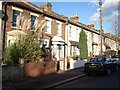
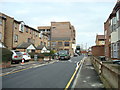
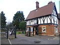
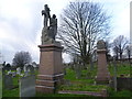
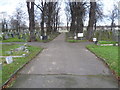
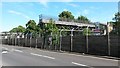
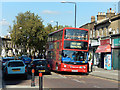
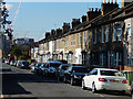
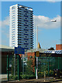
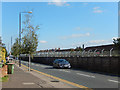
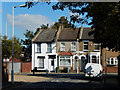
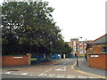
41 photos from this area
Area Information
Key information about the E11 3JN including its size, population, and administrative classification.
- Area Type
- Postcode
- Area Size
- 5775 m²
- Population
- 1869
- Population Density
- 18101 people/km²
House Prices in E11 3JN
43
Properties
£307,124
Average Sold Price
£48,000
Lowest Price
£710,000
Highest Price
Showing 43 properties
| Address | Type | Beds | Baths | Last Sale Price | Last Sale Date | |
|---|---|---|---|---|---|---|
| 34 Worsley Road, Leytonstone, E11 3JN | house | 3 | 1 | £675,000 | May 2025 | |
| 4 Worsley Road, Leytonstone, E11 3JN | Terraced | 4 | - | £508,355 | Sep 2021 | |
| 22 Worsley Road, Leytonstone, E11 3JN | Terraced | 2 | 1 | £710,000 | Sep 2021 | |
| 24 Worsley Road, Leytonstone, E11 3JN | house | - | - | £542,000 | May 2021 | |
| 72 Worsley Road, Leytonstone, E11 3JN | Terraced | 2 | 2 | £455,000 | Oct 2019 | |
| 16 Worsley Road, Leytonstone, E11 3JN | Terraced | 3 | 1 | £591,500 | Jul 2019 | |
| 60 Worsley Road, Leytonstone, E11 3JN | house | 2 | 1 | £446,000 | Dec 2018 | |
| 74 Worsley Road, Leytonstone, E11 3JN | house | - | - | £370,000 | Mar 2016 | |
| 54 Worsley Road, Leytonstone, E11 3JN | house | - | - | £405,000 | Oct 2015 | |
| 18 Worsley Road, Leytonstone, E11 3JN | house | - | - | £400,000 | Sep 2014 |
Page 1 of 5
Energy Efficiency in E11 3JN
Amenities
Schools
| Rank | School | Type | Entry gender | Ages |
|---|
Explore more schools in this area
Go to Schools tabDemographics
Household Size
Family (3-5 people)
most common
Accommodation Type
Houses
most common
Tenure
47
majority
Ethnic Group
White
most common
Religion
N/A
most common
Household Composition
N/A
most common
Age
47
median
Adults (30-64 years)
most common
Household Deprivation
N/A
with no deprivation
NS-SEC
32
in Lower managerial occupations
Explore more demographic insights in this area
Go to Demographics tabPlanning
Planning Constraints
- Flood RiskPremium
- Ramsar Wetland SitesPremium
- Area of Outstanding Natural BeautyPremium
- Protected Nature ReservePremium
- Protected WoodlandPremium