Area Overview for E11 3JA
Photos of E11 3JA
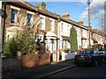
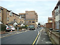
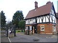

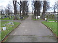
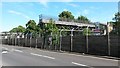
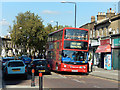
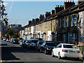
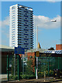
41 photos from this area
Area Information
Key information about the E11 3JA including its size, population, and administrative classification.
- Area Type
- Postcode
- Area Size
- 5537 m²
- Population
- 1869
- Population Density
- 18101 people/km²
House Prices in E11 3JA
44
Properties
£459,833
Average Sold Price
£110,000
Lowest Price
£750,000
Highest Price
Showing 44 properties
| Address | Type | Beds | Baths | Last Sale Price | Last Sale Date | |
|---|---|---|---|---|---|---|
| 20 Steele Road, Leytonstone, E11 3JA | Terraced | 3 | 1 | £510,000 | Jun 2024 | |
| 6 Steele Road, Leytonstone, E11 3JA | Detached | 3 | 1 | £585,000 | Sep 2023 | |
| 8 Steele Road, Leytonstone, E11 3JA | Retail | 3 | 1 | £545,000 | Oct 2022 | |
| 10 Steele Road, Leytonstone, E11 3JA | house | - | - | £750,000 | Mar 2022 | |
| 22 Steele Road, Leytonstone, E11 3JA | Retail | 3 | 1 | £620,000 | Feb 2022 | |
| 34 Steele Road, Leytonstone, E11 3JA | house | 4 | - | £458,500 | Nov 2014 | |
| 54 Steele Road, Leytonstone, E11 3JA | Terraced | - | - | £310,000 | Jul 2007 | |
| 4 Steele Road, Leytonstone, E11 3JA | house | - | - | £250,000 | Sep 2005 | |
| 12 Steele Road, Leytonstone, E11 3JA | house | 5 | - | £110,000 | Mar 2000 | |
| 2 Steele Road, Leytonstone, E11 3JA | Flat | 1 | 1 | - | - |
Page 1 of 5
Energy Efficiency in E11 3JA
Amenities
Schools
| Rank | School | Type | Entry gender | Ages |
|---|
Explore more schools in this area
Go to Schools tabDemographics
Household Size
Family (3-5 people)
most common
Accommodation Type
Houses
most common
Tenure
47
majority
Ethnic Group
White
most common
Religion
N/A
most common
Household Composition
N/A
most common
Age
47
median
Adults (30-64 years)
most common
Household Deprivation
N/A
with no deprivation
NS-SEC
32
in Lower managerial occupations
Explore more demographic insights in this area
Go to Demographics tabPlanning
Planning Constraints
- Flood RiskPremium
- Ramsar Wetland SitesPremium
- Area of Outstanding Natural BeautyPremium
- Protected Nature ReservePremium
- Protected WoodlandPremium