Area Overview for DA8 2PN
Photos of DA8 2PN


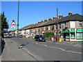
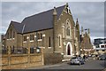
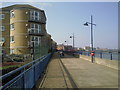
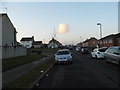
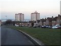

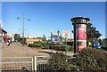
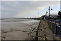
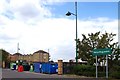
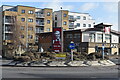
59 photos from this area
Area Information
Key information about the DA8 2PN including its size, population, and administrative classification.
- Area Type
- Postcode
- Area Size
- 3612 m²
- Population
- 1693
- Population Density
- 5472 people/km²
House Prices in DA8 2PN
64
Properties
£99,608
Average Sold Price
£24,000
Lowest Price
£180,000
Highest Price
Showing 64 properties
| Address | Type | Beds | Baths | Last Sale Price | Last Sale Date | |
|---|---|---|---|---|---|---|
| 30 Columbus Square, Erith, DA8 2PN | Flat | - | - | £160,000 | Dec 2024 | |
| 28 Columbus Square, Erith, DA8 2PN | Flat | 2 | 1 | £140,000 | Sep 2023 | |
| 53 Columbus Square, Erith, DA8 2PN | Flat | - | - | £150,000 | Sep 2023 | |
| 33 Columbus Square, Erith, DA8 2PN | Flat | - | - | £165,000 | Nov 2022 | |
| 10 Columbus Square, Erith, DA8 2PN | Flat | - | - | £173,000 | Sep 2021 | |
| 64 Columbus Square, Erith, DA8 2PN | Flat | 1 | 1 | £170,000 | Jan 2021 | |
| 54 Columbus Square, Erith, DA8 2PN | Flat | - | - | £150,000 | Nov 2020 | |
| 21 Columbus Square, Erith, DA8 2PN | Flat | - | - | £130,000 | Jun 2019 | |
| 17 Columbus Square, Erith, DA8 2PN | Flat | - | - | £162,500 | Mar 2019 | |
| 9 Columbus Square, Erith, DA8 2PN | Flat | - | - | £150,000 | Sep 2018 |
Page 1 of 7
Energy Efficiency in DA8 2PN
Amenities
Schools
| Rank | School | Type | Entry gender | Ages |
|---|
Explore more schools in this area
Go to Schools tabDemographics
Household Size
Family (3-5 people)
most common
Accommodation Type
Houses
most common
Tenure
35
majority
Ethnic Group
White
most common
Religion
N/A
most common
Household Composition
N/A
most common
Age
47
median
Adults (30-64 years)
most common
Household Deprivation
N/A
with no deprivation
NS-SEC
25
in Lower managerial occupations
Explore more demographic insights in this area
Go to Demographics tabPlanning
Planning Constraints
- Flood RiskPremium
- Ramsar Wetland SitesPremium
- Area of Outstanding Natural BeautyPremium
- Protected Nature ReservePremium
- Protected WoodlandPremium