Area Overview for DA8 2PJ
Photos of DA8 2PJ

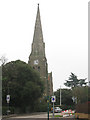
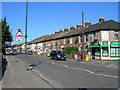
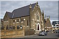
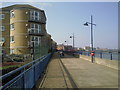
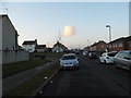
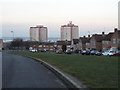

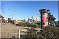
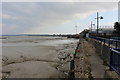
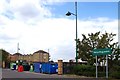
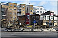
59 photos from this area
Area Information
Key information about the DA8 2PJ including its size, population, and administrative classification.
- Area Type
- Postcode
- Area Size
- 1.0 hectares
- Population
- 1693
- Population Density
- 5472 people/km²
House Prices in DA8 2PJ
60
Properties
£135,033
Average Sold Price
£35,000
Lowest Price
£285,000
Highest Price
Showing 60 properties
| Address | Type | Beds | Baths | Last Sale Price | Last Sale Date | |
|---|---|---|---|---|---|---|
| 8 Hamilton Walk, Erith, DA8 2PJ | Terraced | 2 | 1 | £285,000 | Mar 2024 | |
| 17 Hamilton Walk, Erith, DA8 2PJ | Retail | 1 | 1 | £215,000 | May 2022 | |
| 15 Hamilton Walk, Erith, DA8 2PJ | house | 1 | 1 | £208,000 | Oct 2019 | |
| 12 Hamilton Walk, Erith, DA8 2PJ | house | 1 | 1 | £220,000 | Sep 2018 | |
| 6 Hamilton Walk, Erith, DA8 2PJ | house | - | - | £230,000 | Aug 2015 | |
| 16 Hamilton Walk, Erith, DA8 2PJ | house | - | - | £90,000 | Oct 2011 | |
| 4 Hamilton Walk, Erith, DA8 2PJ | Terraced | 1 | 1 | £125,000 | Feb 2008 | |
| 3 Hamilton Walk, Erith, DA8 2PJ | Terraced | 1 | 1 | £120,500 | Jul 2006 | |
| 13 Hamilton Walk, Erith, DA8 2PJ | house | - | - | £110,000 | Aug 2005 | |
| 11 Hamilton Walk, Erith, DA8 2PJ | house | - | - | £105,000 | Mar 2004 |
Page 1 of 6
Energy Efficiency in DA8 2PJ
Amenities
Schools
| Rank | School | Type | Entry gender | Ages |
|---|
Explore more schools in this area
Go to Schools tabDemographics
Household Size
Family (3-5 people)
most common
Accommodation Type
Houses
most common
Tenure
35
majority
Ethnic Group
White
most common
Religion
N/A
most common
Household Composition
N/A
most common
Age
47
median
Adults (30-64 years)
most common
Household Deprivation
N/A
with no deprivation
NS-SEC
25
in Lower managerial occupations
Explore more demographic insights in this area
Go to Demographics tabPlanning
Planning Constraints
- Flood RiskPremium
- Ramsar Wetland SitesPremium
- Area of Outstanding Natural BeautyPremium
- Protected Nature ReservePremium
- Protected WoodlandPremium