Area Overview for CR0 0EE
Photos of CR0 0EE
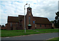
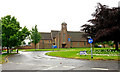
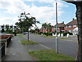
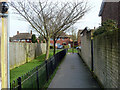
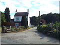
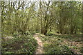
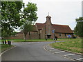
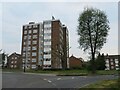
39 photos from this area
Area Information
Key information about the CR0 0EE including its size, population, and administrative classification.
- Area Type
- Postcode
- Area Size
- 2.1 hectares
- Population
- Not available
- Population Density
- Not available
House Prices in CR0 0EE
31
Properties
£211,673
Average Sold Price
£45,000
Lowest Price
£370,000
Highest Price
Showing 31 properties
| Address | Type | Beds | Baths | Last Sale Price | Last Sale Date | |
|---|---|---|---|---|---|---|
| 93 Arnhem Drive, Croydon, CR0 0EE | Detached | 2 | 1 | £370,000 | Oct 2025 | |
| 85 Arnhem Drive, Croydon, CR0 0EE | Maisonette | - | - | £235,000 | Mar 2020 | |
| 89 Arnhem Drive, Croydon, CR0 0EE | Flat | 2 | - | £263,000 | Jun 2019 | |
| 95 Arnhem Drive, Croydon, CR0 0EE | house | - | - | £310,000 | Sep 2016 | |
| 101 Arnhem Drive, Croydon, CR0 0EE | Semi-detached | 3 | - | £360,000 | Sep 2016 | |
| 65 Arnhem Drive, Croydon, CR0 0EE | Terraced | 2 | 1 | £310,000 | May 2016 | |
| 43 Arnhem Drive, Croydon, CR0 0EE | Semi-detached | 2 | 1 | £169,000 | Dec 2011 | |
| 45 Arnhem Drive, Croydon, CR0 0EE | house | - | - | £140,000 | Jun 2009 | |
| 83 Arnhem Drive, Croydon, CR0 0EE | Flat | - | - | £147,600 | Jun 2008 | |
| 51 Arnhem Drive, Croydon, CR0 0EE | Semi-detached | 3 | 1 | £180,500 | Oct 2006 |
Page 1 of 4
Energy Efficiency in CR0 0EE
Amenities
Schools
| Rank | School | Type | Entry gender | Ages |
|---|
Explore more schools in this area
Go to Schools tabDemographics
Household Size
Family (3-5 people)
most common
Accommodation Type
Houses
most common
Tenure
48
majority
Ethnic Group
White
most common
Religion
N/A
most common
Household Composition
N/A
most common
Age
47
median
Adults (30-64 years)
most common
Household Deprivation
N/A
with no deprivation
NS-SEC
23
in Lower managerial occupations
Explore more demographic insights in this area
Go to Demographics tabPlanning
Planning Constraints
- Flood RiskPremium
- Ramsar Wetland SitesPremium
- Area of Outstanding Natural BeautyPremium
- Protected Nature ReservePremium
- Protected WoodlandPremium