Area Overview for CR0 0EB
Photos of CR0 0EB
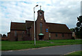
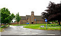
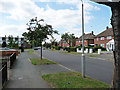
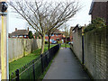
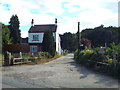
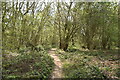
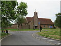
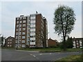
39 photos from this area
Area Information
Key information about the CR0 0EB including its size, population, and administrative classification.
- Area Type
- Postcode
- Area Size
- 1.2 hectares
- Population
- Not available
- Population Density
- Not available
House Prices in CR0 0EB
28
Properties
£286,279
Average Sold Price
£155,000
Lowest Price
£430,000
Highest Price
Showing 28 properties
| Address | Type | Beds | Baths | Last Sale Price | Last Sale Date | |
|---|---|---|---|---|---|---|
| 60 Arnhem Drive, Croydon, CR0 0EB | Terraced | 3 | 2 | £405,000 | Dec 2023 | |
| 68 Arnhem Drive, Croydon, CR0 0EB | house | - | - | £430,000 | Jul 2023 | |
| 56 Arnhem Drive, Croydon, CR0 0EB | house | 2 | 2 | £400,000 | Dec 2021 | |
| 86 Arnhem Drive, Croydon, CR0 0EB | house | - | - | £390,000 | Jun 2021 | |
| 90 Arnhem Drive, Croydon, CR0 0EB | house | 3 | 1 | £319,000 | Feb 2020 | |
| 72 Arnhem Drive, Croydon, CR0 0EB | house | 3 | - | £380,000 | Jun 2019 | |
| 44 Arnhem Drive, Croydon, CR0 0EB | house | 3 | - | £272,000 | Aug 2014 | |
| 88 Arnhem Drive, Croydon, CR0 0EB | Semi-detached | 3 | - | £185,000 | Aug 2013 | |
| 64 Arnhem Drive, Croydon, CR0 0EB | Semi-detached | 3 | - | £229,950 | Feb 2013 | |
| 40 Arnhem Drive, Croydon, CR0 0EB | Terraced | 2 | 1 | £155,000 | Feb 2012 |
Page 1 of 3
Energy Efficiency in CR0 0EB
Amenities
Schools
| Rank | School | Type | Entry gender | Ages |
|---|
Explore more schools in this area
Go to Schools tabDemographics
Household Size
Family (3-5 people)
most common
Accommodation Type
Houses
most common
Tenure
48
majority
Ethnic Group
White
most common
Religion
N/A
most common
Household Composition
N/A
most common
Age
47
median
Adults (30-64 years)
most common
Household Deprivation
N/A
with no deprivation
NS-SEC
23
in Lower managerial occupations
Explore more demographic insights in this area
Go to Demographics tabPlanning
Planning Constraints
- Flood RiskPremium
- Ramsar Wetland SitesPremium
- Area of Outstanding Natural BeautyPremium
- Protected Nature ReservePremium
- Protected WoodlandPremium