Area Overview for BR5 2DW
Photos of BR5 2DW

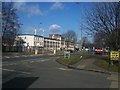
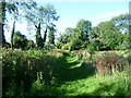
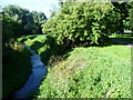
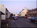
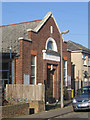
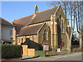
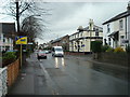
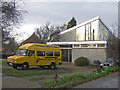
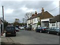
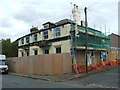
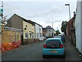
100 photos from this area
Area Information
Key information about the BR5 2DW including its size, population, and administrative classification.
- Area Type
- Postcode
- Area Size
- 1.2 hectares
- Population
- 1848
- Population Density
- 3202 people/km²
House Prices in BR5 2DW
30
Properties
£279,109
Average Sold Price
£60,000
Lowest Price
£700,000
Highest Price
Showing 30 properties
| Address | Type | Beds | Baths | Last Sale Price | Last Sale Date | |
|---|---|---|---|---|---|---|
| 3 Hayfield Road, Orpington, BR5 2DW | Semi-detached | 3 | 1 | £511,000 | Oct 2022 | |
| 15 Hayfield Road, Orpington, BR5 2DW | house | - | - | £700,000 | Aug 2022 | |
| 22 Hayfield Road, Orpington, BR5 2DW | Semi-detached | 2 | 1 | £445,000 | Jun 2022 | |
| 26 Hayfield Road, Orpington, BR5 2DW | house | 3 | 1 | £522,000 | May 2022 | |
| 6 Hayfield Road, Orpington, BR5 2DW | house | - | - | £345,000 | Mar 2021 | |
| 1 Hayfield Road, Orpington, BR5 2DW | Semi-detached | 3 | 1 | £426,000 | Oct 2020 | |
| 13 Hayfield Road, Orpington, BR5 2DW | Detached | 3 | 2 | £400,000 | Aug 2018 | |
| 4 Hayfield Road, Orpington, BR5 2DW | Semi-detached | 3 | 1 | £385,000 | Aug 2016 | |
| 29 Hayfield Road, Orpington, BR5 2DW | house | 3 | - | £265,000 | Mar 2013 | |
| 8 Hayfield Road, Orpington, BR5 2DW | house | - | - | £280,000 | Mar 2012 |
Page 1 of 3
Energy Efficiency in BR5 2DW
Amenities
Schools
| Rank | School | Type | Entry gender | Ages |
|---|
Explore more schools in this area
Go to Schools tabDemographics
Household Size
Family (3-5 people)
most common
Accommodation Type
Houses
most common
Tenure
70
majority
Ethnic Group
White
most common
Religion
N/A
most common
Household Composition
N/A
most common
Age
47
median
Adults (30-64 years)
most common
Household Deprivation
N/A
with no deprivation
NS-SEC
34
in Lower managerial occupations
Explore more demographic insights in this area
Go to Demographics tabPlanning
Planning Constraints
- Flood RiskPremium
- Ramsar Wetland SitesPremium
- Area of Outstanding Natural BeautyPremium
- Protected Nature ReservePremium
- Protected WoodlandPremium