Area Overview for BR5 2DQ
Photos of BR5 2DQ

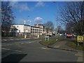
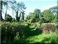
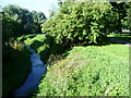
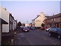
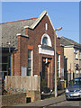
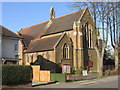
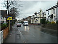
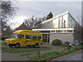
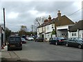
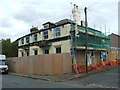
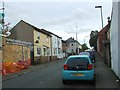
100 photos from this area
Area Information
Key information about the BR5 2DQ including its size, population, and administrative classification.
- Area Type
- Postcode
- Area Size
- 3.2 hectares
- Population
- Not available
- Population Density
- Not available
House Prices in BR5 2DQ
34
Properties
£352,600
Average Sold Price
£80,000
Lowest Price
£635,000
Highest Price
Showing 34 properties
| Address | Type | Beds | Baths | Last Sale Price | Last Sale Date | |
|---|---|---|---|---|---|---|
| 54 Poverest Road, Orpington, BR5 2DQ | Bungalow | 3 | 1 | £550,000 | Oct 2025 | |
| 82 Poverest Road, Orpington, BR5 2DQ | Bungalow | 2 | 2 | £635,000 | Oct 2024 | |
| 72 Poverest Road, Orpington, BR5 2DQ | Semi-detached | 2 | 1 | £525,000 | Jan 2024 | |
| 66 Poverest Road, Orpington, BR5 2DQ | Retail | 2 | 1 | £450,000 | Oct 2022 | |
| 84 Poverest Road, Orpington, BR5 2DQ | Semi-detached | 4 | 2 | £525,000 | Sep 2021 | |
| 44 Poverest Road, Orpington, BR5 2DQ | house | - | - | £345,000 | Aug 2021 | |
| 96 Poverest Road, Orpington, BR5 2DQ | house | - | - | £460,000 | Jun 2021 | |
| 80 Poverest Road, Orpington, BR5 2DQ | Bungalow | 3 | 2 | £450,000 | Jan 2020 | |
| 104 Poverest Road, Orpington, BR5 2DQ | Detached | 4 | 3 | £390,000 | Jun 2019 | |
| 102 Poverest Road, Orpington, BR5 2DQ | Bungalow | 3 | 1 | £450,000 | Nov 2017 |
Page 1 of 4
Energy Efficiency in BR5 2DQ
Amenities
Schools
| Rank | School | Type | Entry gender | Ages |
|---|
Explore more schools in this area
Go to Schools tabDemographics
Household Size
Family (3-5 people)
most common
Accommodation Type
Houses
most common
Tenure
71
majority
Ethnic Group
White
most common
Religion
N/A
most common
Household Composition
N/A
most common
Age
47
median
Adults (30-64 years)
most common
Household Deprivation
N/A
with no deprivation
NS-SEC
38
in Lower managerial occupations
Explore more demographic insights in this area
Go to Demographics tabPlanning
Planning Constraints
- Flood RiskPremium
- Ramsar Wetland SitesPremium
- Area of Outstanding Natural BeautyPremium
- Protected Nature ReservePremium
- Protected WoodlandPremium