Area Overview for BR2 9LH
Photos of BR2 9LH
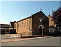
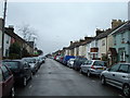
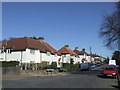
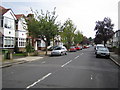
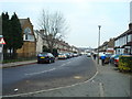
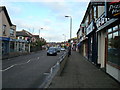
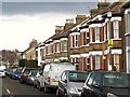
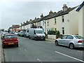
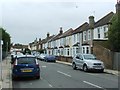
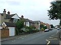
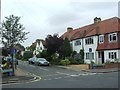
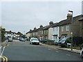
68 photos from this area
Area Information
Key information about the BR2 9LH including its size, population, and administrative classification.
- Area Type
- Postcode
- Area Size
- 1.5 hectares
- Population
- 1792
- Population Density
- 6068 people/km²
House Prices in BR2 9LH
34
Properties
£217,694
Average Sold Price
£67,500
Lowest Price
£525,000
Highest Price
Showing 34 properties
| Address | Type | Beds | Baths | Last Sale Price | Last Sale Date | |
|---|---|---|---|---|---|---|
| 152 Homesdale Road, Bromley, BR2 9LH | Detached | 3 | 1 | £485,000 | Sep 2025 | |
| 148 Homesdale Road, Bromley, BR2 9LH | Flat | - | - | £154,587 | Jun 2023 | |
| 76 Homesdale Road, Bromley, BR2 9LH | Terraced | 3 | 1 | £525,000 | Apr 2023 | |
| 96 Homesdale Road, Bromley, BR2 9LH | Maisonette | 2 | 1 | £275,000 | Nov 2020 | |
| 132 Homesdale Road, Bromley, BR2 9LH | Maisonette | 2 | 1 | £150,000 | Sep 2020 | |
| 100 Homesdale Road, Bromley, BR2 9LH | Maisonette | 2 | 1 | £260,000 | Apr 2017 | |
| 90 Homesdale Road, Bromley, BR2 9LH | Terraced | 3 | 1 | £370,000 | Mar 2017 | |
| 98 Homesdale Road, Bromley, BR2 9LH | Maisonette | - | - | £225,000 | Oct 2015 | |
| 102 Homesdale Road, Bromley, BR2 9LH | Maisonette | 2 | 1 | £230,000 | Apr 2015 | |
| 134 Homesdale Road, Bromley, BR2 9LH | Flat | - | - | £150,000 | Sep 2009 |
Page 1 of 4
Energy Efficiency in BR2 9LH
Amenities
Schools
| Rank | School | Type | Entry gender | Ages |
|---|
Explore more schools in this area
Go to Schools tabDemographics
Household Size
Family (3-5 people)
most common
Accommodation Type
Houses
most common
Tenure
77
majority
Ethnic Group
White
most common
Religion
N/A
most common
Household Composition
N/A
most common
Age
47
median
Adults (30-64 years)
most common
Household Deprivation
N/A
with no deprivation
NS-SEC
45
in Lower managerial occupations
Explore more demographic insights in this area
Go to Demographics tabPlanning
Planning Constraints
- Flood RiskPremium
- Ramsar Wetland SitesPremium
- Area of Outstanding Natural BeautyPremium
- Protected Nature ReservePremium
- Protected WoodlandPremium