Area Overview for BR1 4NE
Photos of BR1 4NE
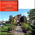
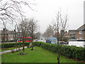
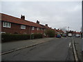
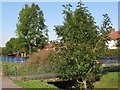
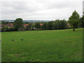
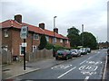
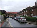
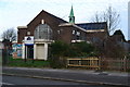
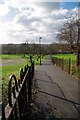
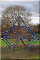
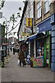
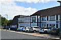
46 photos from this area
Area Information
Key information about the BR1 4NE including its size, population, and administrative classification.
- Area Type
- Postcode
- Area Size
- 1.5 hectares
- Population
- 1997
- Population Density
- 9551 people/km²
House Prices in BR1 4NE
36
Properties
£213,150
Average Sold Price
£72,000
Lowest Price
£395,000
Highest Price
Showing 36 properties
| Address | Type | Beds | Baths | Last Sale Price | Last Sale Date | |
|---|---|---|---|---|---|---|
| 139 Farmfield Road, Bromley, BR1 4NE | Maisonette | 1 | 1 | £260,000 | Feb 2025 | |
| 145 Farmfield Road, Bromley, BR1 4NE | Terraced | 2 | 1 | £395,000 | Oct 2023 | |
| 101 Farmfield Road, Bromley, BR1 4NE | house | - | - | £350,000 | Feb 2021 | |
| 133 Farmfield Road, Bromley, BR1 4NE | Flat | - | - | £218,000 | May 2018 | |
| 99 Farmfield Road, Bromley, BR1 4NE | Terraced | 2 | 1 | £235,000 | May 2018 | |
| 115 Farmfield Road, Bromley, BR1 4NE | Flat | 1 | 1 | £170,000 | Apr 2015 | |
| 109 Farmfield Road, Bromley, BR1 4NE | Maisonette | - | - | £130,000 | Apr 2012 | |
| 129 Farmfield Road, Bromley, BR1 4NE | Flat | - | - | £135,500 | Aug 2010 | |
| 81 Farmfield Road, Bromley, BR1 4NE | Terraced | - | - | £166,000 | Dec 2005 | |
| 143 Farmfield Road, Bromley, BR1 4NE | Terraced | - | - | £72,000 | Mar 1999 |
Page 1 of 4
Energy Efficiency in BR1 4NE
Amenities
Schools
| Rank | School | Type | Entry gender | Ages |
|---|
Explore more schools in this area
Go to Schools tabDemographics
Household Size
Family (3-5 people)
most common
Accommodation Type
Houses
most common
Tenure
44
majority
Ethnic Group
White
most common
Religion
N/A
most common
Household Composition
N/A
most common
Age
47
median
Adults (30-64 years)
most common
Household Deprivation
N/A
with no deprivation
NS-SEC
21
in Lower managerial occupations
Explore more demographic insights in this area
Go to Demographics tabPlanning
Planning Constraints
- Flood RiskPremium
- Ramsar Wetland SitesPremium
- Area of Outstanding Natural BeautyPremium
- Protected Nature ReservePremium
- Protected WoodlandPremium