Area Overview for BR1 4PF
Photos of BR1 4PF
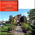
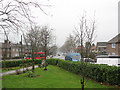
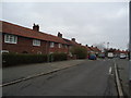
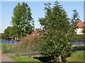
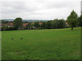
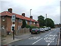
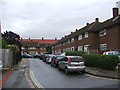
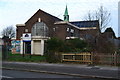
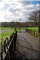
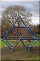
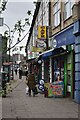
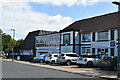
46 photos from this area
Area Information
Key information about the BR1 4PF including its size, population, and administrative classification.
- Area Type
- Postcode
- Area Size
- 9176 m²
- Population
- Not available
- Population Density
- Not available
House Prices in BR1 4PF
38
Properties
£273,211
Average Sold Price
£95,000
Lowest Price
£415,000
Highest Price
Showing 38 properties
| Address | Type | Beds | Baths | Last Sale Price | Last Sale Date | |
|---|---|---|---|---|---|---|
| 53 Sandpit Road, Bromley, BR1 4PF | Terraced | 3 | 1 | £400,000 | Jul 2024 | |
| 57 Sandpit Road, Bromley, BR1 4PF | Terraced | 3 | - | £390,000 | Nov 2022 | |
| 7 Sandpit Road, Bromley, BR1 4PF | house | 2 | - | £415,000 | Sep 2022 | |
| 71 Sandpit Road, Bromley, BR1 4PF | Retail | 2 | 1 | £370,000 | Apr 2022 | |
| 27 Sandpit Road, Bromley, BR1 4PF | Flat | 1 | 1 | £225,111 | Jul 2021 | |
| 67 Sandpit Road, Bromley, BR1 4PF | Terraced | 2 | - | £325,000 | Mar 2019 | |
| 29 Sandpit Road, Bromley, BR1 4PF | Flat | - | - | £183,000 | Aug 2014 | |
| 37 Sandpit Road, Bromley, BR1 4PF | Flat | - | - | £177,000 | Jun 2014 | |
| 75 Sandpit Road, Bromley, BR1 4PF | house | 3 | - | £152,000 | Dec 2002 | |
| 49 Sandpit Road, Bromley, BR1 4PF | Terraced | - | - | £95,000 | Apr 2000 |
Page 1 of 4
Energy Efficiency in BR1 4PF
Amenities
Schools
| Rank | School | Type | Entry gender | Ages |
|---|
Explore more schools in this area
Go to Schools tabDemographics
Household Size
Family (3-5 people)
most common
Accommodation Type
Houses
most common
Tenure
59
majority
Ethnic Group
White
most common
Religion
N/A
most common
Household Composition
N/A
most common
Age
47
median
Adults (30-64 years)
most common
Household Deprivation
N/A
with no deprivation
NS-SEC
33
in Lower managerial occupations
Explore more demographic insights in this area
Go to Demographics tabPlanning
Planning Constraints
- Flood RiskPremium
- Ramsar Wetland SitesPremium
- Area of Outstanding Natural BeautyPremium
- Protected Nature ReservePremium
- Protected WoodlandPremium