Area Overview for BR1 4RS
Photos of BR1 4RS
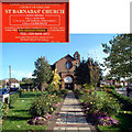
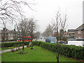
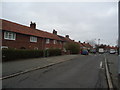
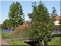
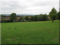
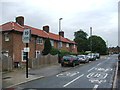
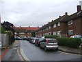
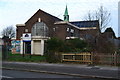
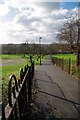
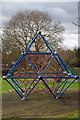
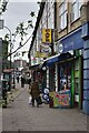
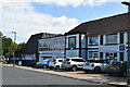
46 photos from this area
Area Information
Key information about the BR1 4RS including its size, population, and administrative classification.
- Area Type
- Postcode
- Area Size
- 2.4 hectares
- Population
- 1997
- Population Density
- 9551 people/km²
House Prices in BR1 4RS
38
Properties
£219,145
Average Sold Price
£59,500
Lowest Price
£450,000
Highest Price
Showing 38 properties
| Address | Type | Beds | Baths | Last Sale Price | Last Sale Date | |
|---|---|---|---|---|---|---|
| 46 Rangefield Road, Bromley, BR1 4RS | house | - | - | £450,000 | Nov 2022 | |
| 66 Rangefield Road, Bromley, BR1 4RS | Terraced | 4 | 2 | £310,000 | Aug 2021 | |
| 42 Rangefield Road, Bromley, BR1 4RS | house | 2 | - | £325,000 | Feb 2019 | |
| 62 Rangefield Road, Bromley, BR1 4RS | house | - | - | £325,000 | May 2018 | |
| 56 Rangefield Road, Bromley, BR1 4RS | house | - | - | £337,500 | Dec 2017 | |
| 4 Rangefield Road, Bromley, BR1 4RS | house | - | - | £310,000 | Feb 2016 | |
| 54 Rangefield Road, Bromley, BR1 4RS | Terraced | 2 | 1 | £260,000 | Aug 2015 | |
| 8 Rangefield Road, Bromley, BR1 4RS | Terraced | 3 | 1 | £249,000 | Mar 2014 | |
| 2 Rangefield Road, Bromley, BR1 4RS | house | - | - | £210,000 | Oct 2013 | |
| 44 Rangefield Road, Bromley, BR1 4RS | house | - | - | £188,000 | Jun 2010 |
Page 1 of 4
Energy Efficiency in BR1 4RS
Amenities
Schools
| Rank | School | Type | Entry gender | Ages |
|---|
Explore more schools in this area
Go to Schools tabDemographics
Household Size
Family (3-5 people)
most common
Accommodation Type
Houses
most common
Tenure
44
majority
Ethnic Group
White
most common
Religion
N/A
most common
Household Composition
N/A
most common
Age
47
median
Adults (30-64 years)
most common
Household Deprivation
N/A
with no deprivation
NS-SEC
21
in Lower managerial occupations
Explore more demographic insights in this area
Go to Demographics tabPlanning
Planning Constraints
- Flood RiskPremium
- Ramsar Wetland SitesPremium
- Area of Outstanding Natural BeautyPremium
- Protected Nature ReservePremium
- Protected WoodlandPremium