Area Overview for BR1 3NS
Photos of BR1 3NS
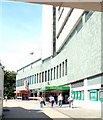
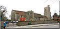
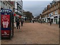
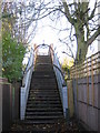
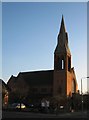
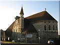
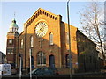
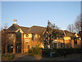
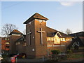
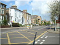
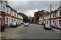
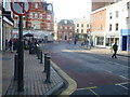
100 photos from this area
Area Information
Key information about the BR1 3NS including its size, population, and administrative classification.
- Area Type
- Postcode
- Area Size
- 6149 m²
- Population
- 2033
- Population Density
- 6120 people/km²
House Prices in BR1 3NS
14
Properties
£333,495
Average Sold Price
£45,000
Lowest Price
£575,000
Highest Price
Showing 14 properties
| Address | Type | Beds | Baths | Last Sale Price | Last Sale Date | |
|---|---|---|---|---|---|---|
| 6 College Road, Bromley, BR1 3NS | Semi-detached | 2 | 1 | £445,000 | Feb 2024 | |
| 2 College Road, Bromley, BR1 3NS | Retail | 3 | 1 | £375,000 | Jan 2023 | |
| 4 College Road, Bromley, BR1 3NS | Retail | 2 | 1 | £435,000 | May 2022 | |
| 14A College Road, Bromley, BR1 3NS | Flat | 1 | 1 | £315,000 | Jul 2019 | |
| 20A College Road, Bromley, BR1 3NS | Flat | 2 | 1 | £360,000 | Nov 2018 | |
| 10 College Road, Bromley, BR1 3NS | Terraced | 4 | 1 | £575,000 | Aug 2018 | |
| 18A College Road, Bromley, BR1 3NS | Flat | - | - | £315,000 | Jun 2016 | |
| 18 College Road, Bromley, BR1 3NS | Flat | - | - | £220,000 | Jan 2004 | |
| 16 College Road, Bromley, BR1 3NS | Maisonette | 3 | - | £249,950 | Sep 2002 | |
| 16A College Road, Bromley, BR1 3NS | Flat | - | - | £45,000 | Sep 1996 |
Page 1 of 2
Energy Efficiency in BR1 3NS
Amenities
Schools
| Rank | School | Type | Entry gender | Ages |
|---|
Explore more schools in this area
Go to Schools tabDemographics
Household Size
One person
most common
Accommodation Type
Flats
most common
Tenure
31
majority
Ethnic Group
White
most common
Religion
N/A
most common
Household Composition
N/A
most common
Age
47
median
Adults (30-64 years)
most common
Household Deprivation
N/A
with no deprivation
NS-SEC
42
in Lower managerial occupations
Explore more demographic insights in this area
Go to Demographics tabPlanning
Planning Constraints
- Flood RiskPremium
- Ramsar Wetland SitesPremium
- Area of Outstanding Natural BeautyPremium
- Protected Nature ReservePremium
- Protected WoodlandPremium