Area Overview for BR1 1RF
Photos of BR1 1RF
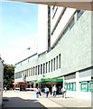
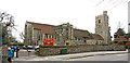
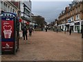
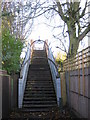
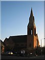
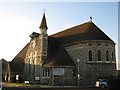
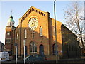
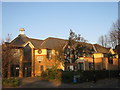
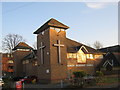
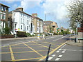
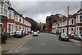
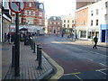
100 photos from this area
Area Information
Key information about the BR1 1RF including its size, population, and administrative classification.
- Area Type
- Postcode
- Area Size
- 3972 m²
- Population
- Not available
- Population Density
- Not available
House Prices in BR1 1RF
21
Properties
£302,950
Average Sold Price
£171,500
Lowest Price
£620,000
Highest Price
Showing 21 properties
| Address | Type | Beds | Baths | Last Sale Price | Last Sale Date | |
|---|---|---|---|---|---|---|
| 40 West Street, Bromley, BR1 1RF | Terraced | 3 | 1 | £620,000 | Mar 2024 | |
| 28 West Street, Bromley, BR1 1RF | Semi-detached | 3 | 1 | £515,000 | Dec 2023 | |
| 42B West Street, Bromley, BR1 1RF | Flat | - | - | £305,000 | Sep 2015 | |
| 38 West Street, Bromley, BR1 1RF | house | 3 | - | £344,000 | Feb 2014 | |
| 42A West Street, Bromley, BR1 1RF | Flat | 2 | 1 | £196,000 | Nov 2012 | |
| 32 West Street, Bromley, BR1 1RF | house | - | - | £249,000 | May 2011 | |
| 42C West Street, Bromley, BR1 1RF | Flat | 2 | 1 | £171,500 | Feb 2007 | |
| 26 West Street, Bromley, BR1 1RF | house | 1 | 1 | £230,000 | Nov 2006 | |
| 18 West Street, Bromley, BR1 1RF | Semi-detached | - | - | £267,000 | Aug 2006 | |
| 36 West Street, Bromley, BR1 1RF | house | 3 | - | £259,950 | May 2006 |
Page 1 of 3
Energy Efficiency in BR1 1RF
Amenities
Schools
| Rank | School | Type | Entry gender | Ages |
|---|
Explore more schools in this area
Go to Schools tabDemographics
Household Size
Family (3-5 people)
most common
Accommodation Type
Houses
most common
Tenure
69
majority
Ethnic Group
White
most common
Religion
N/A
most common
Household Composition
N/A
most common
Age
47
median
Adults (30-64 years)
most common
Household Deprivation
N/A
with no deprivation
NS-SEC
49
in Lower managerial occupations
Explore more demographic insights in this area
Go to Demographics tabPlanning
Planning Constraints
- Flood RiskPremium
- Ramsar Wetland SitesPremium
- Area of Outstanding Natural BeautyPremium
- Protected Nature ReservePremium
- Protected WoodlandPremium