Area Overview for BR1 2SF
Photos of BR1 2SF
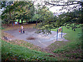
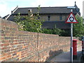
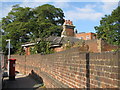
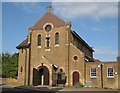
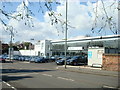
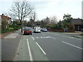
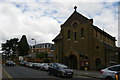
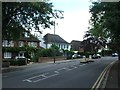
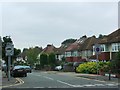
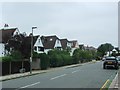
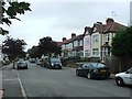
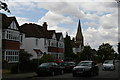
53 photos from this area
Area Information
Key information about the BR1 2SF including its size, population, and administrative classification.
- Area Type
- Postcode
- Area Size
- 5096 m²
- Population
- 1828
- Population Density
- 5199 people/km²
House Prices in BR1 2SF
14
Properties
£280,083
Average Sold Price
£60,000
Lowest Price
£410,000
Highest Price
Showing 14 properties
| Address | Type | Beds | Baths | Last Sale Price | Last Sale Date | |
|---|---|---|---|---|---|---|
| 11 Field Close, Bromley, BR1 2SF | Flat | - | - | £385,000 | Jul 2024 | |
| 12 Field Close, Bromley, BR1 2SF | Flat | 2 | 1 | £375,000 | Aug 2023 | |
| 3 Field Close, Bromley, BR1 2SF | Flat | - | - | £348,250 | Jul 2022 | |
| 5 Field Close, Bromley, BR1 2SF | Flat | - | - | £339,906 | Jan 2022 | |
| 9 Field Close, Bromley, BR1 2SF | Flat | - | - | £350,000 | Oct 2021 | |
| 6 Field Close, Bromley, BR1 2SF | Flat | - | - | £410,000 | May 2021 | |
| 8 Field Close, Bromley, BR1 2SF | Flat | 2 | 1 | £305,000 | Jul 2020 | |
| 1 Field Close, Bromley, BR1 2SF | Flat | - | - | £345,000 | Aug 2015 | |
| 2 Field Close, Bromley, BR1 2SF | Flat | 3 | 1 | £240,000 | Jun 2015 | |
| 13 Field Close, Bromley, BR1 2SF | Flat | - | - | £210,000 | Jan 2010 |
Page 1 of 2
Energy Efficiency in BR1 2SF
Amenities
Schools
| Rank | School | Type | Entry gender | Ages |
|---|
Explore more schools in this area
Go to Schools tabDemographics
Household Size
One person
most common
Accommodation Type
Flats
most common
Tenure
67
majority
Ethnic Group
White
most common
Religion
N/A
most common
Household Composition
N/A
most common
Age
47
median
Adults (30-64 years)
most common
Household Deprivation
N/A
with no deprivation
NS-SEC
50
in Lower managerial occupations
Explore more demographic insights in this area
Go to Demographics tabPlanning
Planning Constraints
- Flood RiskPremium
- Ramsar Wetland SitesPremium
- Area of Outstanding Natural BeautyPremium
- Protected Nature ReservePremium
- Protected WoodlandPremium