Area Overview for SS9 1HB
Photos of SS9 1HB
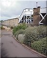
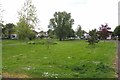
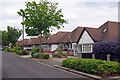
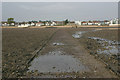
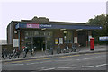
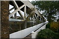
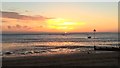
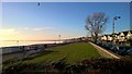
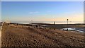
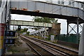
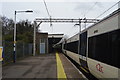
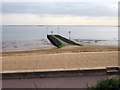
89 photos from this area
Area Information
Key information about the SS9 1HB including its size, population, and administrative classification.
- Area Type
- Postcode
- Area Size
- 6475 m²
- Population
- 1557
- Population Density
- 4534 people/km²
House Prices in SS9 1HB
23
Properties
£421,889
Average Sold Price
£170,000
Lowest Price
£1,250,000
Highest Price
Showing 23 properties
| Address | Type | Beds | Baths | Last Sale Price | Last Sale Date | |
|---|---|---|---|---|---|---|
| 102 Beach Avenue, Leigh On Sea, SS9 1HB | Maisonette | 3 | 1 | £380,000 | Jan 2023 | |
| 116 Beach Avenue, Leigh On Sea, SS9 1HB | Detached | 3 | 2 | £1,250,000 | Apr 2022 | |
| 106 Beach Avenue, Leigh On Sea, SS9 1HB | Detached | 4 | 1 | £690,000 | Jan 2022 | |
| 104 Beach Avenue, Leigh On Sea, SS9 1HB | Retail | 3 | 1 | £296,500 | Mar 2020 | |
| 114 Beach Avenue, Leigh On Sea, SS9 1HB | Semi-detached | 4 | - | £625,000 | Mar 2020 | |
| 124 Beach Avenue, Leigh On Sea, SS9 1HB | Semi-detached | 3 | 1 | £527,500 | Oct 2018 | |
| 98 Beach Avenue, Leigh On Sea, SS9 1HB | Flat | 4 | - | £249,000 | Nov 2016 | |
| 90 Beach Avenue, Leigh On Sea, SS9 1HB | Flat | 2 | 1 | £460,000 | Jan 2015 | |
| 108A Beach Avenue, Leigh On Sea, SS9 1HB | Flat | - | - | £170,000 | Nov 2014 | |
| 108 Beach Avenue, Leigh On Sea, SS9 1HB | Flat | - | - | £190,000 | Jun 2014 |
Page 1 of 3
Energy Efficiency in SS9 1HB
Amenities
Schools
| Rank | School | Type | Entry gender | Ages |
|---|
Explore more schools in this area
Go to Schools tabDemographics
Household Size
Family (3-5 people)
most common
Accommodation Type
Houses
most common
Tenure
83
majority
Ethnic Group
White
most common
Religion
N/A
most common
Household Composition
N/A
most common
Age
47
median
Adults (30-64 years)
most common
Household Deprivation
N/A
with no deprivation
NS-SEC
54
in Lower managerial occupations
Explore more demographic insights in this area
Go to Demographics tabPlanning
Planning Constraints
- Flood RiskPremium
- Ramsar Wetland SitesPremium
- Area of Outstanding Natural BeautyPremium
- Protected Nature ReservePremium
- Protected WoodlandPremium