Area Overview for SG6 4LA
Photos of SG6 4LA
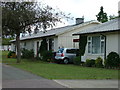
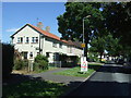
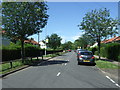
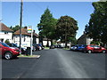
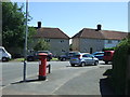
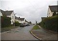
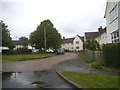
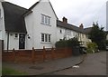
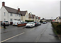
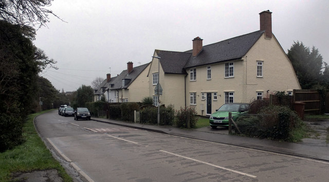
25 photos from this area
Area Information
Key information about the SG6 4LA including its size, population, and administrative classification.
- Area Type
- Postcode
- Area Size
- 1.2 hectares
- Population
- 1233
- Population Density
- 2043 people/km²
House Prices in SG6 4LA
26
Properties
£228,930
Average Sold Price
£59,950
Lowest Price
£405,000
Highest Price
Showing 26 properties
| Address | Type | Beds | Baths | Last Sale Price | Last Sale Date | |
|---|---|---|---|---|---|---|
| 35 Romany Close, Letchworth Garden City, SG6 4LA | Bungalow | 3 | 2 | £405,000 | Jun 2024 | |
| 70 Romany Close, Letchworth Garden City, SG6 4LA | Semi-detached | 3 | - | £375,000 | May 2021 | |
| 23 Romany Close, Letchworth Garden City, SG6 4LA | Bungalow | - | - | £275,000 | Mar 2020 | |
| 19 Romany Close, Letchworth Garden City, SG6 4LA | Bungalow | - | - | £317,000 | Jun 2019 | |
| 84 Romany Close, Letchworth Garden City, SG6 4LA | house | - | - | £330,000 | Oct 2018 | |
| 76 Romany Close, Letchworth Garden City, SG6 4LA | Semi-detached | 3 | - | £344,000 | Sep 2016 | |
| 27 Romany Close, Letchworth Garden City, SG6 4LA | Bungalow | 2 | - | £260,000 | Jun 2015 | |
| 25 Romany Close, Letchworth Garden City, SG6 4LA | Bungalow | - | - | £245,000 | Mar 2015 | |
| 31 Romany Close, Letchworth Garden City, SG6 4LA | Bungalow | 2 | - | £180,000 | Jan 2012 | |
| 62 Romany Close, Letchworth Garden City, SG6 4LA | Detached | 3 | 2 | £215,000 | Jul 2011 |
Page 1 of 3
Energy Efficiency in SG6 4LA
Amenities
Schools
| Rank | School | Type | Entry gender | Ages |
|---|
Explore more schools in this area
Go to Schools tabDemographics
Household Size
Family (3-5 people)
most common
Accommodation Type
Houses
most common
Tenure
76
majority
Ethnic Group
White
most common
Religion
N/A
most common
Household Composition
N/A
most common
Age
47
median
Adults (30-64 years)
most common
Household Deprivation
N/A
with no deprivation
NS-SEC
32
in Lower managerial occupations
Explore more demographic insights in this area
Go to Demographics tabPlanning
Planning Constraints
- Flood RiskPremium
- Ramsar Wetland SitesPremium
- Area of Outstanding Natural BeautyPremium
- Protected Nature ReservePremium
- Protected WoodlandPremium