Area Overview for SG6 4BQ
Photos of SG6 4BQ
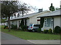
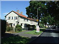
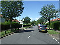
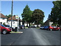
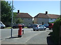
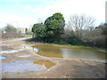
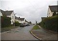
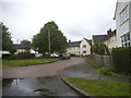
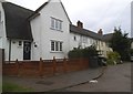
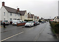
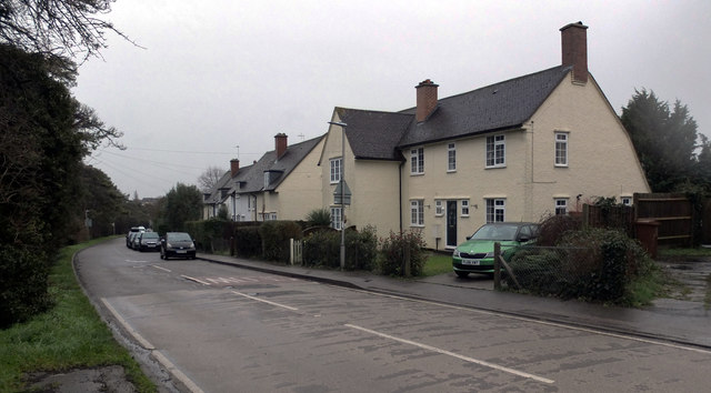
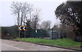
25 photos from this area
Area Information
Key information about the SG6 4BQ including its size, population, and administrative classification.
- Area Type
- Postcode
- Area Size
- 1.8 hectares
- Population
- 1233
- Population Density
- 2043 people/km²
House Prices in SG6 4BQ
58
Properties
£167,456
Average Sold Price
£37,000
Lowest Price
£360,000
Highest Price
Showing 58 properties
| Address | Type | Beds | Baths | Last Sale Price | Last Sale Date | |
|---|---|---|---|---|---|---|
| 49 Mullway, Letchworth Garden City, SG6 4BQ | Terraced | 3 | 1 | £335,000 | Sep 2024 | |
| 75 Mullway, Letchworth Garden City, SG6 4BQ | Terraced | 3 | 1 | £300,000 | Jul 2024 | |
| 85 Mullway, Letchworth Garden City, SG6 4BQ | Terraced | 3 | 1 | £360,000 | Apr 2023 | |
| 23 Mullway, Letchworth Garden City, SG6 4BQ | Retail | 3 | 1 | £341,000 | Apr 2022 | |
| 39 Mullway, Letchworth Garden City, SG6 4BQ | house | - | - | £279,170 | Nov 2021 | |
| 67 Mullway, Letchworth Garden City, SG6 4BQ | Terraced | 3 | - | £310,000 | Nov 2017 | |
| 81 Mullway, Letchworth Garden City, SG6 4BQ | Semi-detached | 3 | 2 | £315,000 | Feb 2017 | |
| 105 Mullway, Letchworth Garden City, SG6 4BQ | Terraced | 3 | - | £253,000 | Jul 2016 | |
| 45 Mullway, Letchworth Garden City, SG6 4BQ | house | - | - | £238,000 | Feb 2016 | |
| 89 Mullway, Letchworth Garden City, SG6 4BQ | house | 3 | - | £158,000 | Jul 2011 |
Page 1 of 6
Energy Efficiency in SG6 4BQ
Amenities
Schools
| Rank | School | Type | Entry gender | Ages |
|---|
Explore more schools in this area
Go to Schools tabDemographics
Household Size
Family (3-5 people)
most common
Accommodation Type
Houses
most common
Tenure
76
majority
Ethnic Group
White
most common
Religion
N/A
most common
Household Composition
N/A
most common
Age
47
median
Adults (30-64 years)
most common
Household Deprivation
N/A
with no deprivation
NS-SEC
32
in Lower managerial occupations
Explore more demographic insights in this area
Go to Demographics tabPlanning
Planning Constraints
- Flood RiskPremium
- Ramsar Wetland SitesPremium
- Area of Outstanding Natural BeautyPremium
- Protected Nature ReservePremium
- Protected WoodlandPremium