Area Overview for SG6 4JU
Photos of SG6 4JU
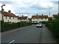
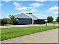
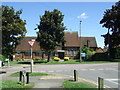
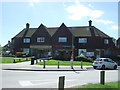
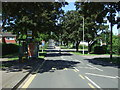
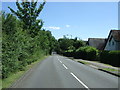
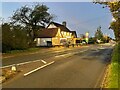
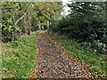
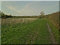
13 photos from this area
Area Information
Key information about the SG6 4JU including its size, population, and administrative classification.
- Area Type
- Postcode
- Area Size
- 1.2 hectares
- Population
- 1233
- Population Density
- 2043 people/km²
House Prices in SG6 4JU
21
Properties
£362,717
Average Sold Price
£30,000
Lowest Price
£655,000
Highest Price
Showing 21 properties
| Address | Type | Beds | Baths | Last Sale Price | Last Sale Date | |
|---|---|---|---|---|---|---|
| 47 Wilbury Hills Road, Letchworth Garden City, SG6 4JU | house | 4 | 2 | £655,000 | Mar 2024 | |
| 29 Wilbury Hills Road, Letchworth Garden City, SG6 4JU | Semi-detached | 5 | - | £560,000 | Sep 2021 | |
| 35 Wilbury Hills Road, Letchworth Garden City, SG6 4JU | house | - | - | £440,000 | Sep 2019 | |
| 41 Wilbury Hills Road, Letchworth Garden City, SG6 4JU | Semi-detached | 3 | 1 | £355,000 | Mar 2019 | |
| 39 Wilbury Hills Road, Letchworth Garden City, SG6 4JU | Semi-detached | 3 | 1 | £325,000 | Nov 2018 | |
| 33 Wilbury Hills Road, Letchworth Garden City, SG6 4JU | house | 3 | - | £380,000 | Mar 2017 | |
| 31 Wilbury Hills Road, Letchworth Garden City, SG6 4JU | house | - | - | £246,950 | Aug 2012 | |
| 53 Wilbury Hills Road, Letchworth Garden City, SG6 4JU | house | - | - | £272,500 | Feb 2010 | |
| 27 Wilbury Hills Road, Letchworth Garden City, SG6 4JU | Semi-detached | - | - | £30,000 | Jan 2001 | |
| 49 Wilbury Hills Road, Letchworth Garden City, SG6 4JU | Semi-detached | 4 | 3 | - | - |
Page 1 of 3
Energy Efficiency in SG6 4JU
Amenities
Schools
| Rank | School | Type | Entry gender | Ages |
|---|
Explore more schools in this area
Go to Schools tabDemographics
Household Size
Family (3-5 people)
most common
Accommodation Type
Houses
most common
Tenure
76
majority
Ethnic Group
White
most common
Religion
N/A
most common
Household Composition
N/A
most common
Age
47
median
Adults (30-64 years)
most common
Household Deprivation
N/A
with no deprivation
NS-SEC
32
in Lower managerial occupations
Explore more demographic insights in this area
Go to Demographics tabPlanning
Planning Constraints
- Flood RiskPremium
- Ramsar Wetland SitesPremium
- Area of Outstanding Natural BeautyPremium
- Protected Nature ReservePremium
- Protected WoodlandPremium