Area Overview for SG4 9HF
Photos of SG4 9HF
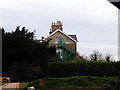
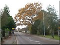
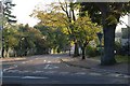
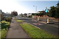
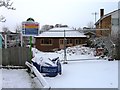
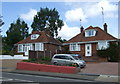
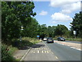
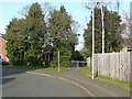
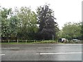
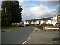
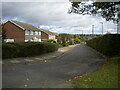
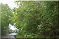
24 photos from this area
Area Information
Key information about the SG4 9HF including its size, population, and administrative classification.
- Area Type
- Postcode
- Area Size
- 3373 m²
- Population
- 2062
- Population Density
- 2852 people/km²
House Prices in SG4 9HF
11
Properties
£227,673
Average Sold Price
£65,000
Lowest Price
£345,000
Highest Price
Showing 11 properties
| Address | Type | Beds | Baths | Last Sale Price | Last Sale Date | |
|---|---|---|---|---|---|---|
| 18 Mowbray Gardens, Hitchin, SG4 9HF | Semi-detached | 2 | - | £325,000 | Jan 2022 | |
| 4 Mowbray Gardens, Hitchin, SG4 9HF | Terraced | 3 | 1 | £345,000 | Nov 2021 | |
| 8 Mowbray Gardens, Hitchin, SG4 9HF | Terraced | 2 | 1 | £300,000 | Mar 2020 | |
| 3 Mowbray Gardens, Hitchin, SG4 9HF | Semi-detached | 2 | 1 | £293,725 | Feb 2020 | |
| 1 Mowbray Gardens, Hitchin, SG4 9HF | Semi-detached | 2 | 1 | £295,000 | Mar 2019 | |
| 10 Mowbray Gardens, Hitchin, SG4 9HF | house | - | - | £205,000 | Aug 2014 | |
| 12 Mowbray Gardens, Hitchin, SG4 9HF | Terraced | 2 | 1 | £195,000 | Dec 2013 | |
| 2 Mowbray Gardens, Hitchin, SG4 9HF | house | 3 | - | £178,000 | Mar 2012 | |
| 6 Mowbray Gardens, Hitchin, SG4 9HF | house | - | - | £75,000 | Jul 1998 | |
| 16 Mowbray Gardens, Hitchin, SG4 9HF | Semi-detached | - | - | £65,000 | May 1998 |
Page 1 of 2
Energy Efficiency in SG4 9HF
Amenities
Schools
| Rank | School | Type | Entry gender | Ages |
|---|
Explore more schools in this area
Go to Schools tabDemographics
Household Size
Family (3-5 people)
most common
Accommodation Type
Houses
most common
Tenure
88
majority
Ethnic Group
White
most common
Religion
N/A
most common
Household Composition
N/A
most common
Age
47
median
Adults (30-64 years)
most common
Household Deprivation
N/A
with no deprivation
NS-SEC
60
in Lower managerial occupations
Explore more demographic insights in this area
Go to Demographics tabPlanning
Planning Constraints
- Flood RiskPremium
- Ramsar Wetland SitesPremium
- Area of Outstanding Natural BeautyPremium
- Protected Nature ReservePremium
- Protected WoodlandPremium