Area Overview for SG17 5BL
Photos of SG17 5BL
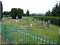
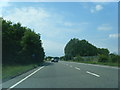
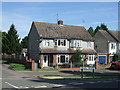
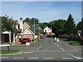
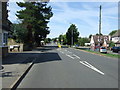
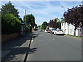
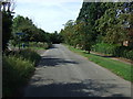
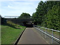
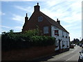
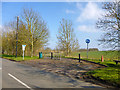
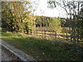
28 photos from this area
Area Information
Key information about the SG17 5BL including its size, population, and administrative classification.
- Area Type
- Postcode
- Area Size
- 5.0 hectares
- Population
- 2112
- Population Density
- 1320 people/km²
House Prices in SG17 5BL
18
Properties
£302,000
Average Sold Price
£188,500
Lowest Price
£395,000
Highest Price
Showing 18 properties
| Address | Type | Beds | Baths | Last Sale Price | Last Sale Date | |
|---|---|---|---|---|---|---|
| 99 Greenway, Campton, SG17 5BL | Semi-detached | 3 | 2 | £395,000 | Feb 2025 | |
| 77 Greenway, Campton, SG17 5BL | house | - | - | £327,500 | Jun 2024 | |
| 91 Greenway, Campton, SG17 5BL | house | - | - | £395,000 | Sep 2021 | |
| 95 Greenway, Campton, SG17 5BL | Semi-detached | 3 | 1 | £302,500 | Sep 2015 | |
| 83 Greenway, Campton, SG17 5BL | house | - | - | £325,000 | Apr 2013 | |
| 89 Greenway, Campton, SG17 5BL | house | - | - | £200,000 | Mar 2012 | |
| 85 Greenway, Campton, SG17 5BL | Semi-detached | - | - | £282,500 | Mar 2006 | |
| 81 Greenway, Campton, SG17 5BL | Semi-detached | - | - | £188,500 | Nov 2003 | |
| 73 Greenway, Campton, SG17 5BL | Semi-detached | - | - | - | - | |
| 69 Greenway, Campton, SG17 5BL | house | - | - | - | - |
Page 1 of 2
Energy Efficiency in SG17 5BL
Amenities
Schools
| Rank | School | Type | Entry gender | Ages |
|---|
Explore more schools in this area
Go to Schools tabDemographics
Household Size
Family (3-5 people)
most common
Accommodation Type
Houses
most common
Tenure
79
majority
Ethnic Group
White
most common
Religion
N/A
most common
Household Composition
N/A
most common
Age
47
median
Adults (30-64 years)
most common
Household Deprivation
N/A
with no deprivation
NS-SEC
48
in Lower managerial occupations
Explore more demographic insights in this area
Go to Demographics tabPlanning
Planning Constraints
- Flood RiskPremium
- Ramsar Wetland SitesPremium
- Area of Outstanding Natural BeautyPremium
- Protected Nature ReservePremium
- Protected WoodlandPremium