Area Overview for SG13 8BJ
Photos of SG13 8BJ
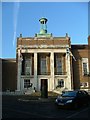
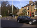
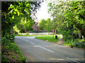
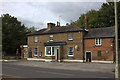
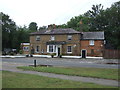
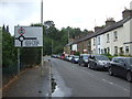
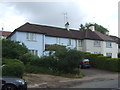
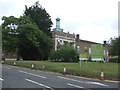
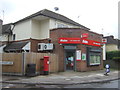
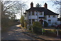
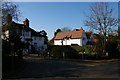
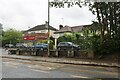
20 photos from this area
Area Information
Key information about the SG13 8BJ including its size, population, and administrative classification.
- Area Type
- Postcode
- Area Size
- 5.5 hectares
- Population
- 1720
- Population Density
- 624 people/km²
House Prices in SG13 8BJ
36
Properties
£553,298
Average Sold Price
£145,000
Lowest Price
£1,200,000
Highest Price
Showing 36 properties
| Address | Type | Beds | Baths | Last Sale Price | Last Sale Date | |
|---|---|---|---|---|---|---|
| 113 Queens Road, Hertford, SG13 8BJ | Detached | 4 | 1 | £960,000 | Jan 2021 | |
| 93 Queens Road, Hertford, SG13 8BJ | Semi-detached | 4 | 2 | £960,000 | May 2019 | |
| 62 Queens Road, Hertford, SG13 8BJ | Semi-detached | 4 | 4 | £890,000 | Mar 2017 | |
| 105 Queens Road, Hertford, SG13 8BJ | house | - | - | £1,200,000 | Dec 2013 | |
| 77 Queens Road, Hertford, SG13 8BJ | Detached | 4 | 2 | £815,000 | Sep 2013 | |
| 99 Queens Road, Hertford, SG13 8BJ | house | - | - | £920,000 | Aug 2013 | |
| 111 Queens Road, Hertford, SG13 8BJ | Detached | 3 | 2 | £688,000 | Dec 2012 | |
| 81 Queens Road, Hertford, SG13 8BJ | house | - | - | £446,000 | Jul 2009 | |
| 95 Queens Road, Hertford, SG13 8BJ | Terraced | - | - | £457,000 | Aug 2003 | |
| 91 Queens Road, Hertford, SG13 8BJ | Terraced | - | - | £302,000 | Mar 2002 |
Page 1 of 4
Energy Efficiency in SG13 8BJ
Amenities
Schools
| Rank | School | Type | Entry gender | Ages |
|---|
Explore more schools in this area
Go to Schools tabDemographics
Household Size
Two person
most common
Accommodation Type
Houses
most common
Tenure
83
majority
Ethnic Group
White
most common
Religion
N/A
most common
Household Composition
N/A
most common
Age
47
median
Adults (30-64 years)
most common
Household Deprivation
N/A
with no deprivation
NS-SEC
54
in Lower managerial occupations
Explore more demographic insights in this area
Go to Demographics tabPlanning
Planning Constraints
- Flood RiskPremium
- Ramsar Wetland SitesPremium
- Area of Outstanding Natural BeautyPremium
- Protected Nature ReservePremium
- Protected WoodlandPremium