Area Overview for SG13 8BB
Photos of SG13 8BB
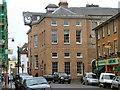
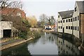
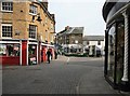
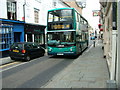
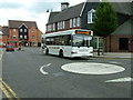
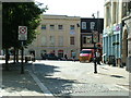
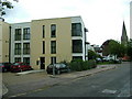
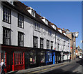
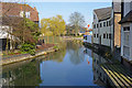
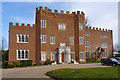
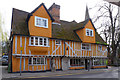
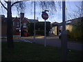
100 photos from this area
Area Information
Key information about the SG13 8BB including its size, population, and administrative classification.
- Area Type
- Postcode
- Area Size
- 4.0 hectares
- Population
- 1303
- Population Density
- 3790 people/km²
House Prices in SG13 8BB
28
Properties
£693,093
Average Sold Price
£200,000
Lowest Price
£1,650,000
Highest Price
Showing 28 properties
| Address | Type | Beds | Baths | Last Sale Price | Last Sale Date | |
|---|---|---|---|---|---|---|
| 75 Queens Road, Hertford, SG13 8BB | Detached | 3 | 1 | £1,650,000 | Mar 2023 | |
| 57 Queens Road, Hertford, SG13 8BB | Retail | 4 | 1 | £786,187 | Sep 2022 | |
| 65A Queens Road, Hertford, SG13 8BB | house | - | - | £847,000 | Jun 2021 | |
| 71 Queens Road, Hertford, SG13 8BB | Semi-detached | 4 | 1 | £760,000 | Mar 2021 | |
| 55 Queens Road, Hertford, SG13 8BB | Semi-detached | 4 | 1 | £650,000 | Aug 2020 | |
| 59 Queens Road, Hertford, SG13 8BB | Semi-detached | 5 | 2 | £780,000 | Jul 2020 | |
| Greenwood, 47A Queens Road, Hertford, SG13 8BB | house | - | - | £200,000 | May 2019 | |
| 54 Queens Road, Hertford, SG13 8BB | Detached | 4 | 3 | £1,300,000 | Apr 2018 | |
| 73 Queens Road, Hertford, SG13 8BB | house | - | - | £608,000 | Jul 2016 | |
| Wildwych, 48A Queens Road, Hertford, SG13 8BB | Detached | 5 | 2 | £1,035,000 | Jul 2016 |
Page 1 of 3
Energy Efficiency in SG13 8BB
Amenities
Schools
| Rank | School | Type | Entry gender | Ages |
|---|
Explore more schools in this area
Go to Schools tabDemographics
Household Size
One person
most common
Accommodation Type
Flats
most common
Tenure
46
majority
Ethnic Group
White
most common
Religion
N/A
most common
Household Composition
N/A
most common
Age
47
median
Adults (30-64 years)
most common
Household Deprivation
N/A
with no deprivation
NS-SEC
49
in Lower managerial occupations
Explore more demographic insights in this area
Go to Demographics tabPlanning
Planning Constraints
- Flood RiskPremium
- Ramsar Wetland SitesPremium
- Area of Outstanding Natural BeautyPremium
- Protected Nature ReservePremium
- Protected WoodlandPremium