Area Overview for NR7 0TG
Photos of NR7 0TG
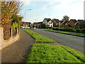
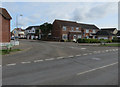
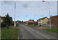

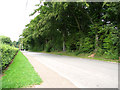
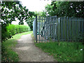
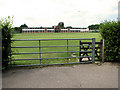
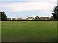

9 photos from this area
Area Information
Key information about the NR7 0TG including its size, population, and administrative classification.
- Area Type
- Postcode
- Area Size
- 8688 m²
- Population
- 2004
- Population Density
- 1783 people/km²
House Prices in NR7 0TG
46
Properties
£125,048
Average Sold Price
£22,250
Lowest Price
£238,000
Highest Price
Showing 46 properties
| Address | Type | Beds | Baths | Last Sale Price | Last Sale Date | |
|---|---|---|---|---|---|---|
| 20 Parliament Court, Thorpe St Andrew, NR7 0TG | house | 1 | 1 | £165,000 | Nov 2025 | |
| 6 Parliament Court, Thorpe St Andrew, NR7 0TG | Terraced | 2 | 1 | £220,000 | Nov 2025 | |
| 5 Parliament Court, Thorpe St Andrew, NR7 0TG | Terraced | 2 | 1 | £200,000 | May 2025 | |
| 62 Parliament Court, Thorpe St Andrew, NR7 0TG | Terraced | 2 | 1 | £205,000 | Apr 2024 | |
| 32 Parliament Court, Thorpe St Andrew, NR7 0TG | Terraced | 2 | 1 | £215,000 | Aug 2023 | |
| 9 Parliament Court, Thorpe St Andrew, NR7 0TG | Terraced | 1 | 1 | £183,000 | Feb 2023 | |
| 1 Parliament Court, Thorpe St Andrew, NR7 0TG | Semi-detached | 2 | 1 | £155,000 | Jul 2022 | |
| 28 Parliament Court, Thorpe St Andrew, NR7 0TG | Terraced | 3 | 1 | £238,000 | Feb 2022 | |
| 38 Parliament Court, Thorpe St Andrew, NR7 0TG | Terraced | 2 | 1 | £220,000 | Dec 2021 | |
| 56 Parliament Court, Thorpe St Andrew, NR7 0TG | house | - | - | £157,500 | Jul 2021 |
Page 1 of 5
Energy Efficiency in NR7 0TG
Amenities
Schools
| Rank | School | Type | Entry gender | Ages |
|---|
Explore more schools in this area
Go to Schools tabDemographics
Household Size
Family (3-5 people)
most common
Accommodation Type
Houses
most common
Tenure
74
majority
Ethnic Group
White
most common
Religion
N/A
most common
Household Composition
N/A
most common
Age
47
median
Adults (30-64 years)
most common
Household Deprivation
N/A
with no deprivation
NS-SEC
40
in Lower managerial occupations
Explore more demographic insights in this area
Go to Demographics tabPlanning
Planning Constraints
- Flood RiskPremium
- Ramsar Wetland SitesPremium
- Area of Outstanding Natural BeautyPremium
- Protected Nature ReservePremium
- Protected WoodlandPremium