Area Overview for NR33 9HJ
Photos of NR33 9HJ

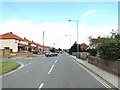
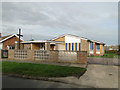
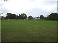
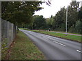
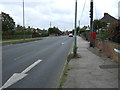
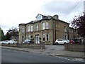
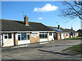
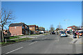
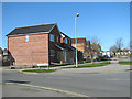
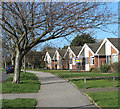
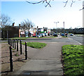
23 photos from this area
Area Information
Key information about the NR33 9HJ including its size, population, and administrative classification.
- Area Type
- Postcode
- Area Size
- 1.2 hectares
- Population
- 1416
- Population Density
- 3083 people/km²
House Prices in NR33 9HJ
19
Properties
£208,265
Average Sold Price
£54,000
Lowest Price
£400,000
Highest Price
Showing 19 properties
| Address | Type | Beds | Baths | Last Sale Price | Last Sale Date | |
|---|---|---|---|---|---|---|
| 9 Pennygate Drive, Lowestoft, NR33 9HJ | Bungalow | - | - | £328,000 | Jan 2022 | |
| 3 Pennygate Drive, Lowestoft, NR33 9HJ | Bungalow | 3 | 1 | £266,000 | Jul 2021 | |
| 5 Pennygate Drive, Lowestoft, NR33 9HJ | Bungalow | 3 | 1 | £285,000 | Aug 2020 | |
| 19 Pennygate Drive, Lowestoft, NR33 9HJ | Bungalow | 4 | 2 | £328,000 | Mar 2020 | |
| 11 Pennygate Drive, Lowestoft, NR33 9HJ | Bungalow | - | - | £212,000 | Jul 2018 | |
| 23 Pennygate Drive, Lowestoft, NR33 9HJ | Bungalow | - | - | £400,000 | Oct 2017 | |
| 22 Pennygate Drive, Lowestoft, NR33 9HJ | Bungalow | - | - | £188,000 | Dec 2015 | |
| 24 Pennygate Drive, Lowestoft, NR33 9HJ | Bungalow | - | - | £220,000 | Jan 2014 | |
| 1 Pennygate Drive, Lowestoft, NR33 9HJ | Bungalow | - | - | £174,995 | Jul 2006 | |
| 7 Pennygate Drive, Lowestoft, NR33 9HJ | Bungalow | - | - | £106,450 | Jan 2003 |
Page 1 of 2
Energy Efficiency in NR33 9HJ
Amenities
Schools
| Rank | School | Type | Entry gender | Ages |
|---|
Explore more schools in this area
Go to Schools tabDemographics
Household Size
Two person
most common
Accommodation Type
Houses
most common
Tenure
92
majority
Ethnic Group
White
most common
Religion
N/A
most common
Household Composition
N/A
most common
Age
47
median
Adults (30-64 years)
most common
Household Deprivation
N/A
with no deprivation
NS-SEC
26
in Lower managerial occupations
Explore more demographic insights in this area
Go to Demographics tabPlanning
Planning Constraints
- Flood RiskPremium
- Ramsar Wetland SitesPremium
- Area of Outstanding Natural BeautyPremium
- Protected Nature ReservePremium
- Protected WoodlandPremium