Area Overview for NR33 9EB
Photos of NR33 9EB

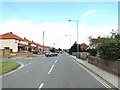
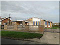
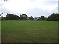
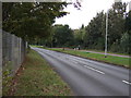
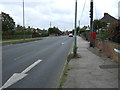
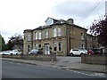
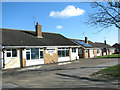
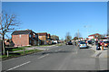
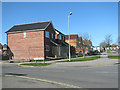
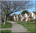
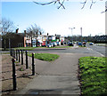
23 photos from this area
Area Information
Key information about the NR33 9EB including its size, population, and administrative classification.
- Area Type
- Postcode
- Area Size
- 6567 m²
- Population
- 1377
- Population Density
- 3762 people/km²
House Prices in NR33 9EB
20
Properties
£108,264
Average Sold Price
£25,380
Lowest Price
£165,000
Highest Price
Showing 20 properties
| Address | Type | Beds | Baths | Last Sale Price | Last Sale Date | |
|---|---|---|---|---|---|---|
| 31 Oakwood Road, Lowestoft, NR33 9EB | house | - | - | £140,000 | Aug 2025 | |
| 41 Oakwood Road, Lowestoft, NR33 9EB | house | - | - | £165,000 | Jan 2022 | |
| 24 Oakwood Road, Lowestoft, NR33 9EB | house | - | - | £155,000 | Nov 2021 | |
| 21 Oakwood Road, Lowestoft, NR33 9EB | house | - | - | £153,000 | Mar 2018 | |
| 32 Oakwood Road, Lowestoft, NR33 9EB | house | - | - | £100,000 | Oct 2010 | |
| 27 Oakwood Road, Lowestoft, NR33 9EB | house | - | - | £107,500 | Nov 2009 | |
| 26 Oakwood Road, Lowestoft, NR33 9EB | house | - | - | £94,995 | Jan 2006 | |
| 35 Oakwood Road, Lowestoft, NR33 9EB | Terraced | - | - | £25,380 | Sep 2001 | |
| 18 Oakwood Road, Lowestoft, NR33 9EB | house | - | - | £33,500 | Jan 1995 | |
| 33 Oakwood Road, Lowestoft, NR33 9EB | house | - | - | - | - |
Page 1 of 2
Energy Efficiency in NR33 9EB
Amenities
Schools
| Rank | School | Type | Entry gender | Ages |
|---|
Explore more schools in this area
Go to Schools tabDemographics
Household Size
Two person
most common
Accommodation Type
Houses
most common
Tenure
67
majority
Ethnic Group
White
most common
Religion
N/A
most common
Household Composition
N/A
most common
Age
47
median
Adults (30-64 years)
most common
Household Deprivation
N/A
with no deprivation
NS-SEC
19
in Lower managerial occupations
Explore more demographic insights in this area
Go to Demographics tabPlanning
Planning Constraints
- Flood RiskPremium
- Ramsar Wetland SitesPremium
- Area of Outstanding Natural BeautyPremium
- Protected Nature ReservePremium
- Protected WoodlandPremium