Area Overview for NR33 9BA
Photos of NR33 9BA

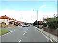
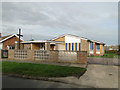
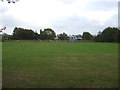
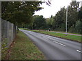
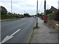
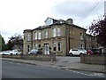
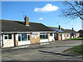
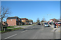
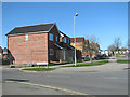
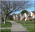
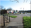
23 photos from this area
Area Information
Key information about the NR33 9BA including its size, population, and administrative classification.
- Area Type
- Postcode
- Area Size
- 7683 m²
- Population
- 1505
- Population Density
- 195888 people/km²
House Prices in NR33 9BA
30
Properties
£129,262
Average Sold Price
£28,140
Lowest Price
£184,500
Highest Price
Showing 30 properties
| Address | Type | Beds | Baths | Last Sale Price | Last Sale Date | |
|---|---|---|---|---|---|---|
| 30 Hawthorn Avenue, Lowestoft, NR33 9BA | Terraced | 3 | 1 | £182,500 | May 2023 | |
| 26 Hawthorn Avenue, Lowestoft, NR33 9BA | house | 3 | 1 | £176,000 | Apr 2023 | |
| 8 Hawthorn Avenue, Lowestoft, NR33 9BA | Terraced | 3 | 1 | £183,000 | Nov 2022 | |
| 38 Hawthorn Avenue, Lowestoft, NR33 9BA | house | 3 | 1 | £184,500 | Oct 2022 | |
| 14 Hawthorn Avenue, Lowestoft, NR33 9BA | house | - | - | £161,500 | Apr 2022 | |
| 32 Hawthorn Avenue, Lowestoft, NR33 9BA | house | - | - | £135,000 | Sep 2021 | |
| 52 Hawthorn Avenue, Lowestoft, NR33 9BA | Terraced | 3 | 1 | £100,000 | Oct 2015 | |
| 34 Hawthorn Avenue, Lowestoft, NR33 9BA | Terraced | 3 | 1 | £98,000 | Dec 2014 | |
| 2 Hawthorn Avenue, Lowestoft, NR33 9BA | house | 3 | - | £97,500 | Feb 2014 | |
| 44 Hawthorn Avenue, Lowestoft, NR33 9BA | Semi-detached | - | - | £85,000 | Mar 2009 |
Page 1 of 3
Energy Efficiency in NR33 9BA
Amenities
Schools
| Rank | School | Type | Entry gender | Ages |
|---|
Explore more schools in this area
Go to Schools tabDemographics
Household Size
One person
most common
Accommodation Type
Houses
most common
Tenure
60
majority
Ethnic Group
White
most common
Religion
N/A
most common
Household Composition
N/A
most common
Age
47
median
Adults (30-64 years)
most common
Household Deprivation
N/A
with no deprivation
NS-SEC
21
in Lower managerial occupations
Explore more demographic insights in this area
Go to Demographics tabPlanning
Planning Constraints
- Flood RiskPremium
- Ramsar Wetland SitesPremium
- Area of Outstanding Natural BeautyPremium
- Protected Nature ReservePremium
- Protected WoodlandPremium