Area Overview for NR33 9BB
Photos of NR33 9BB
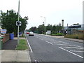
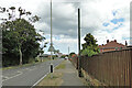
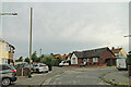
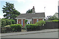
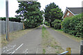
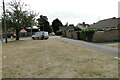
63 photos from this area
Area Information
Key information about the NR33 9BB including its size, population, and administrative classification.
- Area Type
- Postcode
- Area Size
- 1.3 hectares
- Population
- 1505
- Population Density
- 1992 people/km²
House Prices in NR33 9BB
40
Properties
£93,054
Average Sold Price
£14,800
Lowest Price
£205,000
Highest Price
Showing 40 properties
| Address | Type | Beds | Baths | Last Sale Price | Last Sale Date | |
|---|---|---|---|---|---|---|
| 100 Hawthorn Avenue, Lowestoft, NR33 9BB | Terraced | 3 | 1 | £205,000 | Jan 2024 | |
| 96 Hawthorn Avenue, Lowestoft, NR33 9BB | house | - | - | £158,000 | Mar 2021 | |
| 98 Hawthorn Avenue, Lowestoft, NR33 9BB | house | 4 | - | £188,000 | Oct 2020 | |
| 84 Hawthorn Avenue, Lowestoft, NR33 9BB | house | 3 | 1 | £150,000 | Jan 2020 | |
| 62 Hawthorn Avenue, Lowestoft, NR33 9BB | Terraced | 3 | 2 | £102,000 | Nov 2013 | |
| 80 Hawthorn Avenue, Lowestoft, NR33 9BB | house | - | - | £95,000 | Sep 2011 | |
| 82 Hawthorn Avenue, Lowestoft, NR33 9BB | house | - | - | £103,000 | Jul 2010 | |
| 86 Hawthorn Avenue, Lowestoft, NR33 9BB | Terraced | 3 | - | £82,000 | May 2006 | |
| 74 Hawthorn Avenue, Lowestoft, NR33 9BB | house | - | - | £74,950 | Feb 2004 | |
| 64 Hawthorn Avenue, Lowestoft, NR33 9BB | Terraced | - | - | £45,000 | Mar 2001 |
Page 1 of 4
Energy Efficiency in NR33 9BB
Amenities
Schools
| Rank | School | Type | Entry gender | Ages |
|---|
Explore more schools in this area
Go to Schools tabDemographics
Household Size
One person
most common
Accommodation Type
Houses
most common
Tenure
60
majority
Ethnic Group
White
most common
Religion
N/A
most common
Household Composition
N/A
most common
Age
47
median
Adults (30-64 years)
most common
Household Deprivation
N/A
with no deprivation
NS-SEC
21
in Lower managerial occupations
Explore more demographic insights in this area
Go to Demographics tabPlanning
Planning Constraints
- Flood RiskPremium
- Ramsar Wetland SitesPremium
- Area of Outstanding Natural BeautyPremium
- Protected Nature ReservePremium
- Protected WoodlandPremium