Area Overview for NR29 5QT
Photos of NR29 5QT
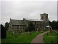
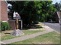
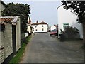
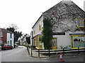
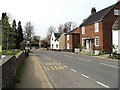
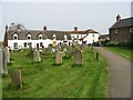
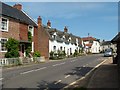
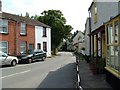
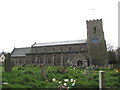
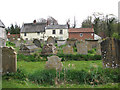
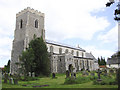
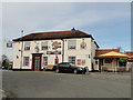
66 photos from this area
Area Information
Key information about the NR29 5QT including its size, population, and administrative classification.
- Area Type
- Postcode
- Area Size
- 5.7 hectares
- Population
- 1075
- Population Density
- 65 people/km²
House Prices in NR29 5QT
19
Properties
£281,390
Average Sold Price
£39,500
Lowest Price
£625,000
Highest Price
Showing 19 properties
| Address | Type | Beds | Baths | Last Sale Price | Last Sale Date | |
|---|---|---|---|---|---|---|
| The Croft, 6 Catfield Road, Ludham, NR29 5QT | Detached | 4 | 1 | £546,300 | Mar 2024 | |
| Et'tare, Catfield Road, Ludham, NR29 5QT | Detached | 3 | 3 | £625,000 | Jun 2023 | |
| 22 Catfield Road, Ludham, NR29 5QT | house | - | - | £253,000 | Oct 2020 | |
| Wembley Cottage, Catfield Road, Ludham, NR29 5QT | Detached | 2 | 1 | £340,000 | Jul 2020 | |
| Kingfisher House, Catfield Road, Ludham, NR29 5QT | Detached | 4 | 2 | £440,000 | Feb 2020 | |
| 8 Catfield Road, Ludham, NR29 5QT | Detached | 4 | - | £157,500 | Apr 2019 | |
| 18 Catfield Road, Ludham, NR29 5QT | house | - | - | £186,155 | Oct 2018 | |
| 20 Catfield Road, Ludham, NR29 5QT | Detached | 4 | 1 | £300,000 | Aug 2017 | |
| Folly House, 4 Catfield Road, Ludham, NR29 5QT | Detached | 4 | - | £420,000 | Jan 2015 | |
| Myway, Catfield Road, Ludham, NR29 5QT | Bungalow | 4 | - | £300,000 | Oct 2013 |
Page 1 of 2
Energy Efficiency in NR29 5QT
Amenities
Schools
| Rank | School | Type | Entry gender | Ages |
|---|
Explore more schools in this area
Go to Schools tabDemographics
Household Size
Two person
most common
Accommodation Type
Houses
most common
Tenure
58
majority
Ethnic Group
White
most common
Religion
N/A
most common
Household Composition
N/A
most common
Age
47
median
Adults (30-64 years)
most common
Household Deprivation
N/A
with no deprivation
NS-SEC
29
in Lower managerial occupations
Explore more demographic insights in this area
Go to Demographics tabPlanning
Planning Constraints
- Flood RiskPremium
- Ramsar Wetland SitesPremium
- Area of Outstanding Natural BeautyPremium
- Protected Nature ReservePremium
- Protected WoodlandPremium