Area Overview for NR29 5NW
Photos of NR29 5NW
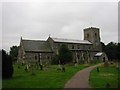
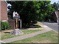
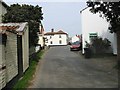
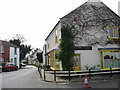
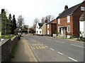
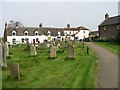
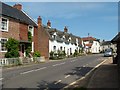
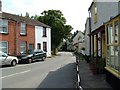
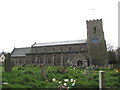
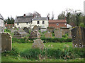
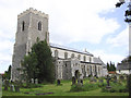
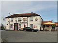
66 photos from this area
Area Information
Key information about the NR29 5NW including its size, population, and administrative classification.
- Area Type
- Postcode
- Area Size
- 5703 m²
- Population
- 1814
- Population Density
- 122 people/km²
House Prices in NR29 5NW
10
Properties
£217,994
Average Sold Price
£64,950
Lowest Price
£328,000
Highest Price
Showing 10 properties
| Address | Type | Beds | Baths | Last Sale Price | Last Sale Date | |
|---|---|---|---|---|---|---|
| 3 Pikes Nursery, Ludham, NR29 5NW | Semi-detached | 4 | 1 | £328,000 | Sep 2021 | |
| 7 Pikes Nursery, Ludham, NR29 5NW | Bungalow | - | - | £270,000 | Nov 2020 | |
| 8 Pikes Nursery, Ludham, NR29 5NW | house | 3 | 2 | £268,000 | Dec 2019 | |
| 6 Pikes Nursery, Ludham, NR29 5NW | house | - | - | £235,000 | Jul 2015 | |
| 1 Pikes Nursery, Ludham, NR29 5NW | Semi-detached | 3 | - | £168,000 | Dec 2013 | |
| 10 Pikes Nursery, Ludham, NR29 5NW | house | - | - | £220,000 | Nov 2009 | |
| 5 Pikes Nursery, Ludham, NR29 5NW | house | 4 | 1 | £190,000 | Jul 2006 | |
| 4 Pikes Nursery, Ludham, NR29 5NW | Terraced | - | - | £64,950 | Aug 1997 | |
| 2 Pikes Nursery, Ludham, NR29 5NW | house | - | - | - | - | |
| 9 Pikes Nursery, Ludham, NR29 5NW | Terraced | - | - | - | - |
Energy Efficiency in NR29 5NW
Amenities
Schools
| Rank | School | Type | Entry gender | Ages |
|---|
Explore more schools in this area
Go to Schools tabDemographics
Household Size
Two person
most common
Accommodation Type
Houses
most common
Tenure
82
majority
Ethnic Group
White
most common
Religion
N/A
most common
Household Composition
N/A
most common
Age
47
median
Elderly (65+ years)
most common
Household Deprivation
N/A
with no deprivation
NS-SEC
29
in Lower managerial occupations
Explore more demographic insights in this area
Go to Demographics tabPlanning
Planning Constraints
- Flood RiskPremium
- Ramsar Wetland SitesPremium
- Area of Outstanding Natural BeautyPremium
- Protected Nature ReservePremium
- Protected WoodlandPremium