Area Overview for NR20 4PU
Photos of NR20 4PU
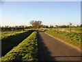
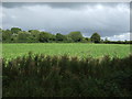

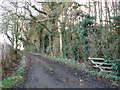
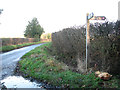
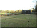
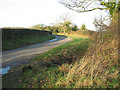
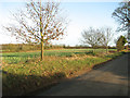
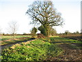
16 photos from this area
Area Information
Key information about the NR20 4PU including its size, population, and administrative classification.
- Area Type
- Postcode
- Area Size
- 84.9 hectares
- Population
- 1608
- Population Density
- 103 people/km²
House Prices in NR20 4PU
12
Properties
£282,400
Average Sold Price
£147,000
Lowest Price
£440,000
Highest Price
Showing 12 properties
| Address | Type | Beds | Baths | Last Sale Price | Last Sale Date | |
|---|---|---|---|---|---|---|
| Flint Lodge, Hoe Road South, Swanton Morley, NR20 4PU | Bungalow | 4 | 2 | £440,000 | Nov 2019 | |
| The Brambles, Hoe Road South, Swanton Morley, NR20 4PU | house | 1 | - | £147,000 | Nov 2016 | |
| Carston House, Hoe Road South, Swanton Morley, NR20 4PU | Detached | 4 | - | £280,000 | Dec 2015 | |
| Well House Cottage, Hoe Road South, Swanton Morley, NR20 4PU | Semi-detached | 3 | 2 | £195,000 | Nov 2015 | |
| Angel Cottage, Hoe Road South, Swanton Morley, NR20 4PU | Detached | 4 | 2 | £350,000 | Jun 2015 | |
| Old Pack Barn, Hoe Road South, Swanton Morley, NR20 4PU | house | 1 | - | - | - | |
| The Old Chocolate Shop, Hoe Road South, Swanton Morley, NR20 4PU | Bungalow | - | - | - | - | |
| Angel Garden, Hoe Road South, Swanton Morley, NR20 4PU | house | - | - | - | - | |
| The Bungalow, Hoe Road South, Swanton Morley, NR20 4PU | Detached | - | - | - | - | |
| Angel Lodge, Hoe Road South, Swanton Morley, NR20 4PU | Detached | - | - | - | - |
Page 1 of 2
Energy Efficiency in NR20 4PU
Amenities
Schools
| Rank | School | Type | Entry gender | Ages |
|---|
Explore more schools in this area
Go to Schools tabDemographics
Household Size
Two person
most common
Accommodation Type
Houses
most common
Tenure
82
majority
Ethnic Group
White
most common
Religion
N/A
most common
Household Composition
N/A
most common
Age
47
median
Adults (30-64 years)
most common
Household Deprivation
N/A
with no deprivation
NS-SEC
33
in Lower managerial occupations
Explore more demographic insights in this area
Go to Demographics tabPlanning
Planning Constraints
- Flood RiskPremium
- Ramsar Wetland SitesPremium
- Area of Outstanding Natural BeautyPremium
- Protected Nature ReservePremium
- Protected WoodlandPremium